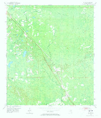
1954 Map of Salem
USGS Topo · Published 1973About this map
The Atlantic Coast Line railroad dictates the orientation of this mid-century Taylor County landscape, cutting a straight diagonal from the northwest to the southeast. Along this rail corridor, small settlements such as Athena, Carbur, and Salem serve as the primary hubs of activity amidst a complex network of wetlands and drainage. The presence of Athena Ch and the Salem Cem provides significant points of interest for genealogists tracing family roots in this corner of the Florida Big Bend.
Find a feature on this map
16 named features on this map. Tap any name to fly to it.
Don’t see what you’re looking for? This feature index may not catch every label — zoom into the map to look around manually.
Map Details
Editions of this 1954 Salem Map
3 editions found
Other maps of this area

1954 · Fenholloway
USGS Topo · 1:24,000

1954 · Day SE
USGS Topo · 1:24,000

1954 · Clara
USGS Topo · 1:24,000

1954 · Salem SW
USGS Topo · 1:24,000

1954 · Cooks Hammock
USGS Topo · 1:24,000

1954 · Warrior Swamp
USGS Topo · 1:24,000

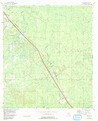
1954 · Salem
USGS Topo · 1:24,000

1954 · Keaton Beach
USGS Topo · 1:24,000

1954 · Gainesville
USGS Topo · 1:250,000

1954 · Valdosta
USGS Topo · 1:250,000