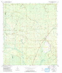
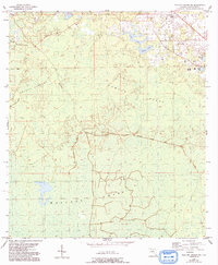
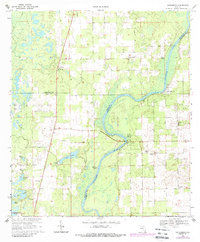
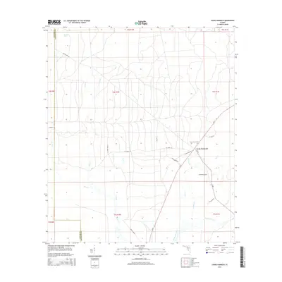
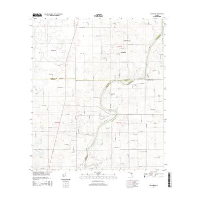
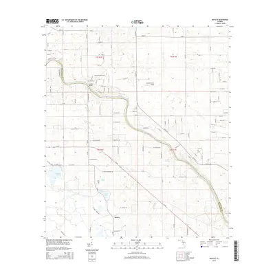
1954 Map of Cooks Hammock
USGS Topo · Published 1993About this map
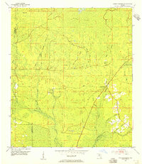
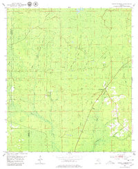
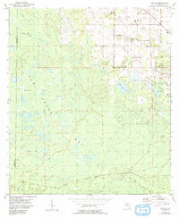
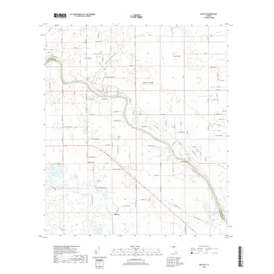
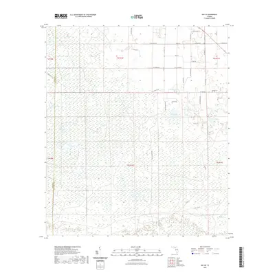
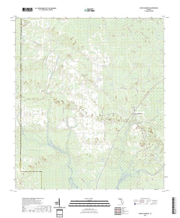
Cooks Hammock serves as the primary point of settlement in this landscape defined by the intricate hydrology of the Florida Big Bend. The area is characterized by a dense network of watercourses, including Tenmile Creek, Reedy Creek, and the Steinhatchee River, which flows across the southern portion of the quadrangle. Significant wetland features such as Coon Bay and Oaky Heads illustrate the low-lying nature of the terrain, where numerous ponds like Dowdy Pond and Ever Pond are scattered throughout the pine flats.
Find a feature on this map
26 named features on this map. Tap any name to fly to it.
Don’t see what you’re looking for? This feature index may not catch every label — zoom into the map to look around manually.
Map Details
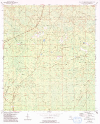
Editions of this 1954 Cooks Hammock Map
3 editions found
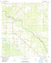
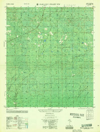
Historical Maps of Cooks Hammock Through Time
43 maps found
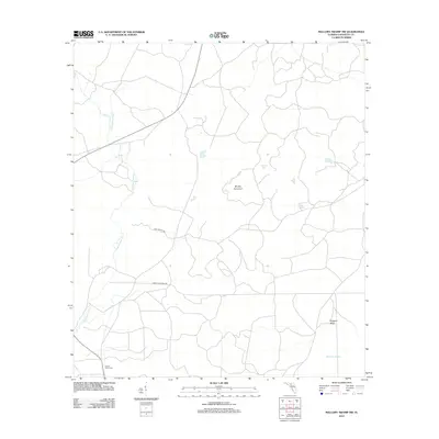
1954 Cooks Hammock
Lafayette County, FL
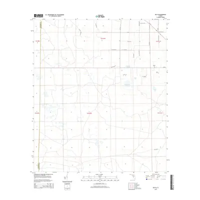
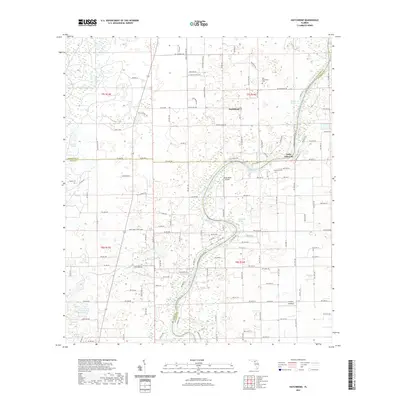
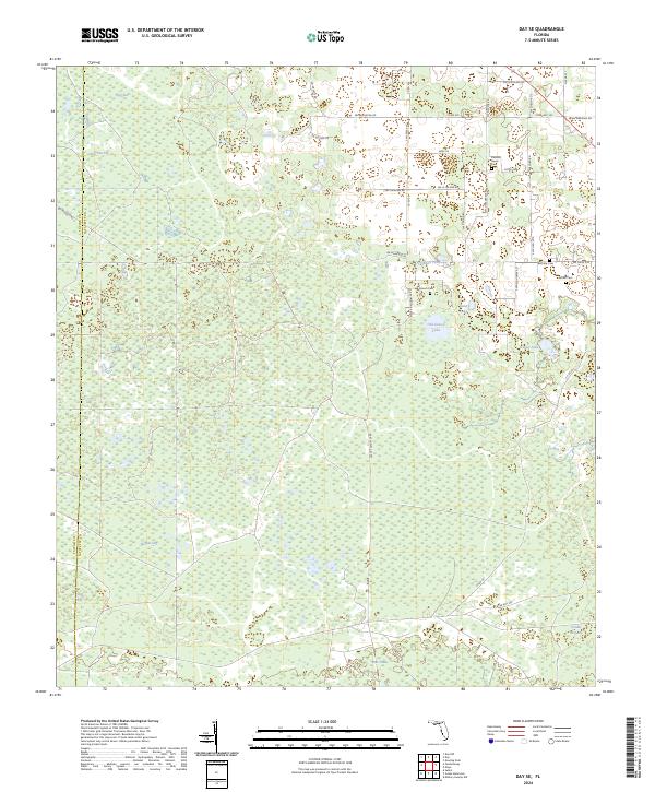
1954 Day SE
Lafayette County, FL
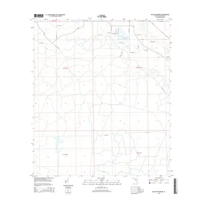
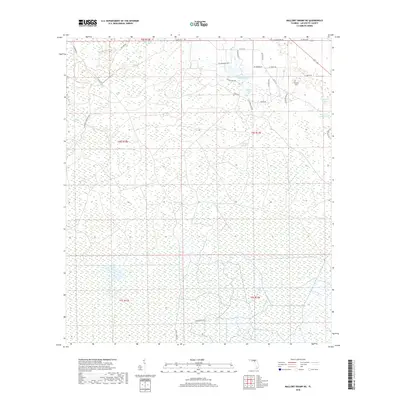
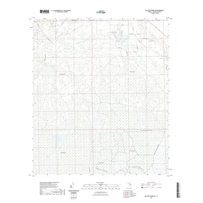
1954 Mallory Swamp NE
Lafayette County, FL
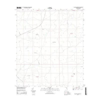
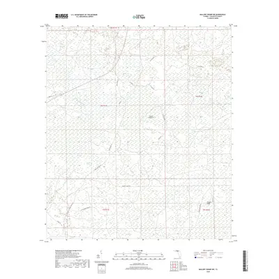
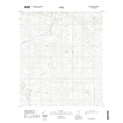
1954 Mallory Swamp NW
Lafayette County, FL
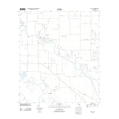
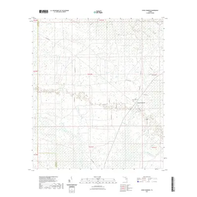
1955 Mayo SE
Lafayette County, FL
1956 Mallory Swamp NW
Lafayette County, FL
1968 Hatchbend
Lafayette County, FL
2012 Cooks Hammock
Lafayette County, FL
2012 Day SE
Lafayette County, FL

2012 Hatchbend
Lafayette County, FL
2012 Mallory Swamp NE
Lafayette County, FL
2012 Mallory Swamp NW
Lafayette County, FL
2012 Mayo SE
Lafayette County, FL
2012 Steinhatchee SW OE S
Lafayette County, FL
2015 Cooks Hammock
Lafayette County, FL
2015 Day SE
Lafayette County, FL
2015 Hatchbend
Lafayette County, FL
2015 Mallory Swamp NE
Lafayette County, FL
2015 Mallory Swamp NW
Lafayette County, FL
2015 Mayo SE
Lafayette County, FL
2015 Steinhatchee SW OE S
Lafayette County, FL
2018 Cooks Hammock
Lafayette County, FL
2018 Day SE
Lafayette County, FL

2018 Hatchbend
Lafayette County, FL
2018 Mallory Swamp NE
Lafayette County, FL
2018 Mallory Swamp NW
Lafayette County, FL
2018 Mayo SE
Lafayette County, FL

2018 Steinhatchee SW OE S
Lafayette County, FL
2021 Cooks Hammock
Lafayette County, FL
2021 Day SE
Lafayette County, FL
2021 Hatchbend
Lafayette County, FL
2021 Mallory Swamp NE
Lafayette County, FL
2021 Mallory Swamp NW
Lafayette County, FL
2021 Mayo SE
Lafayette County, FL
2021 Steinhatchee SW OE S
Lafayette County, FL
2024 Cooks Hammock
Lafayette County, FL
2024 Day SE
Lafayette County, FL
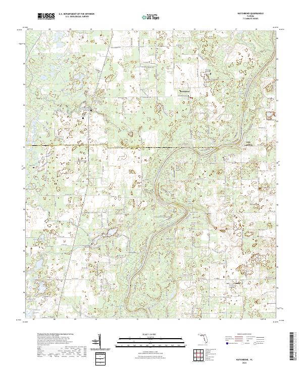
2024 Hatchbend
Lafayette County, FL
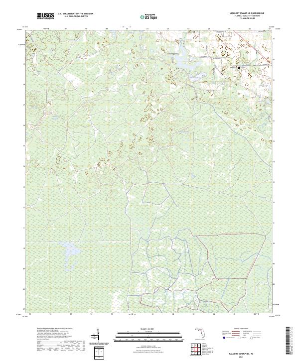
2024 Mallory Swamp NE
Lafayette County, FL
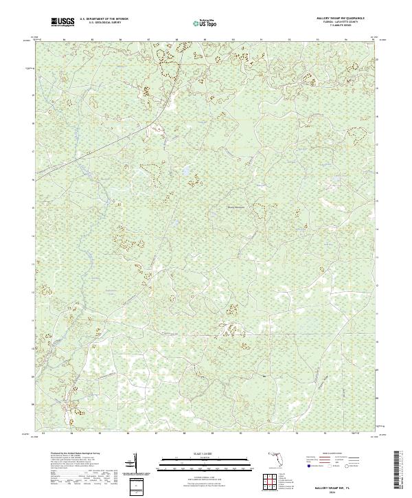
2024 Mallory Swamp NW
Lafayette County, FL
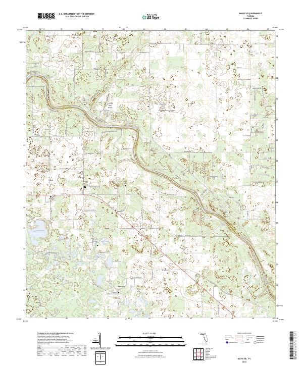
2024 Mayo SE
Lafayette County, FL
2024 Steinhatchee SW OE S
Lafayette County, FL
2025 Steinhatchee SW OE S
Lafayette County, FL