
1954 Map of Mallory Swamp SE
USGS Topo · Published 1955About this map
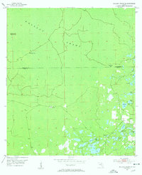
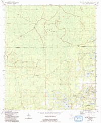
Mallory Swamp dominates this mid-century landscape along the boundary of Lafayette and Dixie Counties. This region of Florida’s Big Bend was defined by remote outposts and a complex system of cypress wetlands and isolated hammocks. Small, functional outposts like McElvain Camp and Cow Camp point to the area's timber and cattle history, while the cluster of water bodies to the southeast, including Mill Pond and Matthis Lake, suggests more concentrated activity. The presence of Pleasant Grove Cem near Cemetery Lake offers a specific point of interest for genealogists tracing families in this sparsely settled pocket of the gulf coast hinterlands. Notable terrain features like Deserters Hammock and Board Pile Bay underscore the localized nomenclature of the Florida interior during the 1950s.
Find a feature on this map
21 named features on this map. Tap any name to fly to it.
Don’t see what you’re looking for? This feature index may not catch every label — zoom into the map to look around manually.
Map Details
Editions of this 1954 Mallory Swamp SE Map
3 editions found
Other maps of this area

1954 · Mallory Swamp NW
USGS Topo · 1:24,000

1954 · Cross City West
USGS Topo · 1:24,000

1954 · Cross City East
USGS Topo · 1:24,000

1954 · Mallory Swamp SW
USGS Topo · 1:24,000

1954 · Mallory Swamp NE
USGS Topo · 1:24,000

1954 · Gainesville
USGS Topo · 1:250,000
1956 · Mallory Swamp NW
USGS Topo · 1:25,000

1956 · Mallory Swamp SE
USGS Topo · 1:25,000

1958 · Gainesville
USGS Topo · 1:250,000

1959 · Gainesville
USGS Topo · 1:250,000