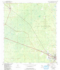
1954 Map of Cross City West
USGS Topo · Published 1993About this map
Cross City serves as the primary hub on this Gulf Coast-interior survey, where the Atlantic Coast Line railroad cuts a diagonal path through the dense wetlands of Dixie County. The landscape is defined by the massive Pumpkin Swamp and the protected lands of the Steinhatchee Wildlife Management Area, illustrating the region's historical reliance on timber and wildlife resources. Smaller settlements like Shamrock and Hines mark the advancement of local industry and transport along the rail corridor. In the northwest, the Hines Lookout Tower stands as a sentinel over the forest, a critical piece of fire management infrastructure during the mid-20th century. This document provides a look at the transition between established town centers and the sprawling, watery lowlands that remained largely wild with an Indefinite Boundary marking the deeper swamp interior.
Find a feature on this map
8 named features on this map. Tap any name to fly to it.
Don’t see what you’re looking for? This feature index may not catch every label — zoom into the map to look around manually.
Map Details
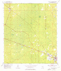
Editions of this 1954 Cross City West Map
3 editions found
Other maps of this area

1954 · Cross City West
USGS Topo · 1:24,000

1954 · Eugene
USGS Topo · 1:24,000

1954 · Clara
USGS Topo · 1:24,000

1954 · Cross City East
USGS Topo · 1:24,000

1954 · Mallory Swamp SW
USGS Topo · 1:24,000

1954 · Jena
USGS Topo · 1:24,000

1954 · Steinhatchee SE
USGS Topo · 1:24,000

1954 · Mallory Swamp SE
USGS Topo · 1:24,000

1954 · Cross City SW
USGS Topo · 1:24,000

1954 · Gainesville
USGS Topo · 1:250,000