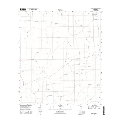
2015 Map of Cross City SW
USGS Topo · Published 2015About this map
Cross City sits at the northern edge of this Dixie County landscape, where the flat coastal plain of the Florida Big Bend is defined by a grid of rural roads and seasonal watercourses. The terrain is marked by low-lying drainages including Billy Cr in the southwest and Fishbone Cr in the southeast, the latter of which flows through Station Lake. This 2015 survey reflects a landscape primarily organized for forestry and rural transit, indicated by the extensive network of numbered routes such as SW 466th Ave and SW 144th St. Located away from the main settlement, Sandhill Cem provides a point of genealogical interest, serving the families of the surrounding townships. The map clearly delineates the boundaries of t10s r11e, t10s r12e, t11s r11e, and t11s r12e, illustrating how the Public Land Survey System continues to dictate the local geography.
Find a feature on this map
98 named features on this map. Tap any name to fly to it.
Don’t see what you’re looking for? This feature index may not catch every label — zoom into the map to look around manually.
Map Details
Editions of this 2015 Cross City SW Map
This is the sole edition of this map. No revisions or reprints were ever made.
Other maps of this area

1954 · Cross City West
USGS Topo · 1:24,000

1954 · Eugene
USGS Topo · 1:24,000

1954 · Cross City East
USGS Topo · 1:24,000

1954 · Jena
USGS Topo · 1:24,000

1954 · Steinhatchee SE
USGS Topo · 1:24,000

1954 · Cross City SW
USGS Topo · 1:24,000

1954 · Horseshoe Beach
USGS Topo · 1:24,000

1954 · Vista
USGS Topo · 1:24,000

1954 · Gainesville
USGS Topo · 1:250,000

1955 · Shired Island
USGS Topo · 1:24,000