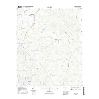
2014 Map of Cross Hill
USGS Topo · Published 2014About this map
Cross Hill serves as a central hub in this landscape where the boundaries of LaureNS CO and Newberry CO meet. The terrain is defined by a dense network of tributaries including Mudlick Cr, Campbell Cr, and Beaverdam Cr, which flow toward the expansive Lake Greenwood in the southwest corner. The settlement patterns reflect a rural history tied to local crossroads and family estates, evident in the numerous named routes like Puckett Ferry Rd and Old Milton Rd.
Find a feature on this map
78 named features on this map. Tap any name to fly to it.
Don’t see what you’re looking for? This feature index may not catch every label — zoom into the map to look around manually.
Map Details
Editions of this 2014 Cross Hill Map
This is the sole edition of this map. No revisions or reprints were ever made.
Other maps of this area

1892 · Abbeville
USGS Topo · 1:125,000

1941 · Spartanburg
USGS Topo · 1:250,000

1949 · Ninety-Six
USGS Topo · 1:24,000

1953 · Spartanburg
USGS Topo · 1:250,000

1954 · Greenville
USGS Topo · 1:250,000

1958 · Greenville
USGS Topo · 1:250,000

1960 · Spartanburg
USGS Topo · 1:250,000

1963 · Spartanburg
USGS Topo · 1:250,000

1964 · Spartanburg
USGS Topo · 1:250,000
1970 · Bush River
USGS Topo · 1:24,000