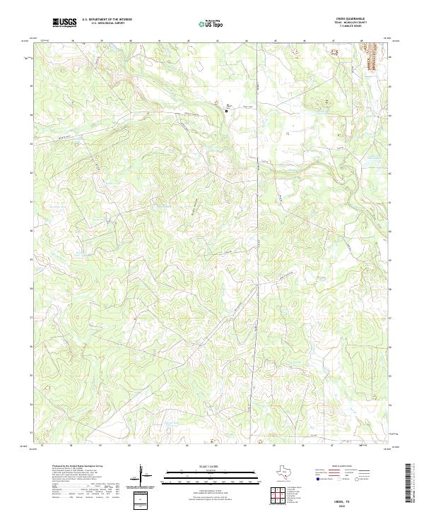
2022 Map of Cross
USGS Topo · Published 2022About this map
San Miguel Cr and its many tributaries, including Clear Cr and Live Oak Cr, dictate the drainage patterns across this McMullen County landscape. The area is characterized by a network of ranch roads and livestock water sources, such as Calishe Tank, Birthday Tank, and Rocking Chair Tank, which are essential for land management in this part of South Texas. Local family history is centered near the San Miguel Cem located off Henry Crow road.
Find a feature on this map
33 named features on this map. Tap any name to fly to it.
Don’t see what you’re looking for? This feature index may not catch every label — zoom into the map to look around manually.
Map Details
Editions of this 2022 Cross Map
This is the sole edition of this map. No revisions or reprints were ever made.
Other maps of this area

1920 · Mikeska
USGS Topo · 1:125,000

1925 · Tilden No. 1
USGS Topo · 1:48,000

1925 · Crowther No. 3
USGS Topo · 1:48,000

1925 · Simmons No. 2
USGS Topo · 1:48,000

1929 · Simmons
USGS Topo · 1:62,500

1930 · Tilden
USGS Topo · 1:62,500

1930 · Whitsett
USGS Topo · 1:62,500

1942 · Tilden
USGS Topo · 1:62,500

1942 · Whitsett
USGS Topo · 1:62,500

1953 · Crystal City
USGS Topo · 1:250,000