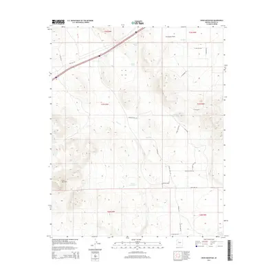
2014 Map of Cross Mountain
USGS Topo · Published 2014About this map
Cross Mountain anchors this high-desert landscape in Yavapai County, where water management is the primary signature of land use. The presence of numerous named water catchments, including Jack Webb Tank, Shorty Davis Tank, and Hoggy John Tank, reflects the essential infrastructure of ranching operations in this arid environment. These features, along with Trout Cr, provide critical context for understanding the historic and modern agricultural footprint across the Seventyfour Plains.
Find a feature on this map
35 named features on this map. Tap any name to fly to it.
Don’t see what you’re looking for? This feature index may not catch every label — zoom into the map to look around manually.
Map Details
Editions of this 2014 Cross Mountain Map
This is the sole edition of this map. No revisions or reprints were ever made.
Other maps of this area

1886 · Diamond Creek
USGS Topo · 1:250,000

1892 · Diamond Creek
USGS Topo · 1:250,000

1948 · Williams
USGS Topo · 1:250,000

1954 · Williams
USGS Topo · 1:250,000

1956 · Williams
USGS Topo · 1:250,000

1960 · Williams
USGS Topo · 1:250,000

1961 · Williams
USGS Topo · 1:250,000
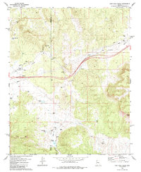
1980 · Fort Rock Ranch
USGS Topo · 1:24,000
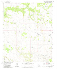
1980 · Anvil Rock Ranch
USGS Topo · 1:24,000
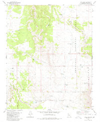
1980 · Anvil Rock
USGS Topo · 1:24,000