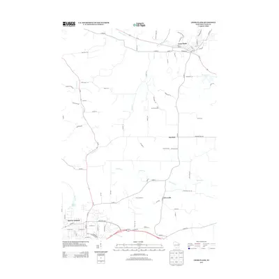
2013 Map of Cross Plains
USGS Topo · Published 2013About this map
Cross Plains and Mount Horeb anchor this 2013 survey of western Dane County, where the driftless area topography influences a complex drainage system and scattered rural settlements. The landscape is defined by the winding course of Black Earth Cr in the north and the upper reaches of the Sugar River and its tributaries like Fryes Feeder to the south. Historically significant corridors like Stagecoach Rd and Military Rd cut across the modern road network, tracing the paths of early travel through Pine Bluff and Klevenville. The presence of the Pine Bluff Observatory and the Ice Age Natl Scenic Trl highlights the area's role in both scientific observation and conservation. Small-scale agricultural operations, including Shamrock Farms and Burns Grain Farms, remain visible markers of the local farming economy at the start of the 2010s.
Find a feature on this map
82 named features on this map. Tap any name to fly to it.
Don’t see what you’re looking for? This feature index may not catch every label — zoom into the map to look around manually.
Map Details
Editions of this 2013 Cross Plains Map
This is the sole edition of this map. No revisions or reprints were ever made.
Other maps of this area

1907 · Cross Plains
USGS Topo · 1:62,500

1909 · Cross Plains
USGS Topo · 1:62,500

1920 · Blue Mounds
USGS Topo · 1:62,500

1922 · Blue Mounds
USGS Topo · 1:62,500

1923 · Blanchardville
USGS Topo · 1:62,500

1923 · New Glarus
USGS Topo · 1:62,500

1954 · Rockford
USGS Topo · 1:250,000

1955 · Rockford
USGS Topo · 1:250,000

1957 · Madison
USGS Topo · 1:250,000

1958 · Rockford
USGS Topo · 1:250,000