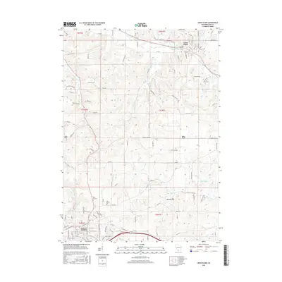
2016 Map of Cross Plains
USGS Topo · Published 2016About this map
Mount Horeb and Cross Plains anchor the southwestern and northern reaches of this Dane County landscape, documenting the modern footprint of these established communities. The village of Klevenville and the settlement of Pine Bluff sit among the valleys and ridges that define the local topography, while Sand Ridge occupies the western edge. This area is characterized by its drainage into several water systems, including the Sugar River and Black Earth Cr, which move through the agricultural and residential corridors.
Find a feature on this map
115 named features on this map. Tap any name to fly to it.
Don’t see what you’re looking for? This feature index may not catch every label — zoom into the map to look around manually.
Map Details
Editions of this 2016 Cross Plains Map
This is the sole edition of this map. No revisions or reprints were ever made.
Other maps of this area

1907 · Cross Plains
USGS Topo · 1:62,500

1909 · Cross Plains
USGS Topo · 1:62,500

1920 · Blue Mounds
USGS Topo · 1:62,500

1922 · Blue Mounds
USGS Topo · 1:62,500

1923 · Blanchardville
USGS Topo · 1:62,500

1923 · New Glarus
USGS Topo · 1:62,500

1954 · Rockford
USGS Topo · 1:250,000

1955 · Rockford
USGS Topo · 1:250,000

1957 · Madison
USGS Topo · 1:250,000

1958 · Rockford
USGS Topo · 1:250,000