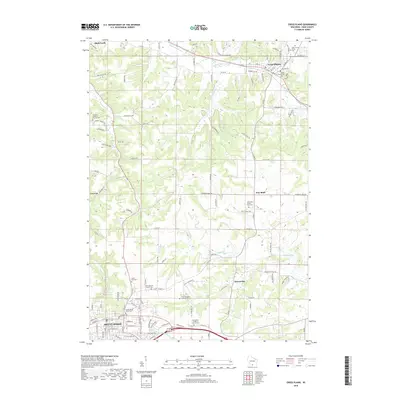
2018 Map of Cross Plains
USGS Topo · Published 2018About this map
Mount Horeb and Cross Plains anchor this 2018 topographic landscape in Dane County, where modern infrastructure meets a deep-rooted agricultural and spiritual heritage. The map documents an area characterized by numerous historic Lutheran and Catholic parishes, including the Vermont Lutheran Church and the Springdale Lutheran Church. These centers of community are often accompanied by their respective burial grounds, such as the Saint Mary of Pine Bluff Cem and Saint Ignatius Calvary Cem.
Find a feature on this map
114 named features on this map. Tap any name to fly to it.
Don’t see what you’re looking for? This feature index may not catch every label — zoom into the map to look around manually.
Map Details
Editions of this 2018 Cross Plains Map
This is the sole edition of this map. No revisions or reprints were ever made.
Other maps of this area

1907 · Cross Plains
USGS Topo · 1:62,500

1909 · Cross Plains
USGS Topo · 1:62,500

1920 · Blue Mounds
USGS Topo · 1:62,500

1922 · Blue Mounds
USGS Topo · 1:62,500

1923 · Blanchardville
USGS Topo · 1:62,500

1923 · New Glarus
USGS Topo · 1:62,500

1954 · Rockford
USGS Topo · 1:250,000

1955 · Rockford
USGS Topo · 1:250,000

1957 · Madison
USGS Topo · 1:250,000

1958 · Rockford
USGS Topo · 1:250,000