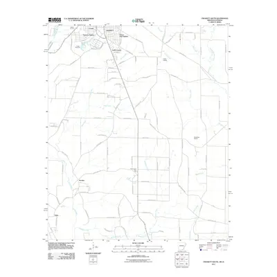
2011 Map of Crossett South
USGS Topo · Published 2011About this map
The municipal footprint of Crossett expands southward in this early 21st-century record, where residential growth is marked by the Oakhurst Addition and Forest Park Addition. To the west, the Western Cemetery serves as a significant genealogical anchor near Cremer. The landscape beyond the city limits is defined by a dense network of timber and access roads, including Petersburg Trl and Ashley Road 8, which navigate the drainage basins of Snake Creek and Williamson Creek.
Find a feature on this map
90 named features on this map. Tap any name to fly to it.
Don’t see what you’re looking for? This feature index may not catch every label — zoom into the map to look around manually.
Map Details
Editions of this 2011 Crossett South Map
This is the sole edition of this map. No revisions or reprints were ever made.
Other maps of this area

1934 · Felsenthal
USGS Topo · 1:62,500

1935 · Naff
USGS Topo · 1:62,500

1935 · Haile
USGS Topo · 1:62,500

1937 · Felsenthal
USGS Topo · 1:62,500

1938 · Felsenthal
USGS Topo · 1:62,500

1939 · Felsenthal
USGS Topo · 1:62,500

1953 · Greenwood
USGS Topo · 1:250,000

1953 · El Dorado
USGS Topo · 1:250,000

1955 · Jackson
USGS Topo · 1:250,000

1955 · Shreveport
USGS Topo · 1:250,000