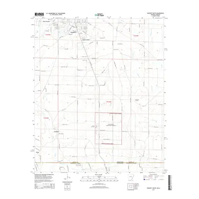
2014 Map of Crossett South
USGS Topo · Published 2014About this map
Crossett and its satellite communities of West Crossett and South Crossett anchor this survey of the Arkansas-Louisiana borderlands. The landscape transitions from the residential street grids of the city, featuring roads like S Mississippi St and S Florida St, into the expansive timberlands and wetlands of the Ouachita National Forest. This southern edge of Ashley County is defined by a dense network of creeks, including Snake Creek and Williamson Creek, which drain toward the Morehouse Parish line. Local history is marked by established sites such as Hickory Grove Cemetery and Western Cemetery, while the presence of Frost Prairie and Hurricane Prairie suggests the area's natural ecological heritage amidst the heavy forest cover and creek bottoms.
Find a feature on this map
115 named features on this map. Tap any name to fly to it.
Don’t see what you’re looking for? This feature index may not catch every label — zoom into the map to look around manually.
Map Details
Editions of this 2014 Crossett South Map
This is the sole edition of this map. No revisions or reprints were ever made.
Other maps of this area

1934 · Felsenthal
USGS Topo · 1:62,500

1935 · Naff
USGS Topo · 1:62,500

1935 · Haile
USGS Topo · 1:62,500

1937 · Felsenthal
USGS Topo · 1:62,500

1938 · Felsenthal
USGS Topo · 1:62,500

1939 · Felsenthal
USGS Topo · 1:62,500

1953 · Greenwood
USGS Topo · 1:250,000

1953 · El Dorado
USGS Topo · 1:250,000

1955 · Jackson
USGS Topo · 1:250,000

1955 · Shreveport
USGS Topo · 1:250,000