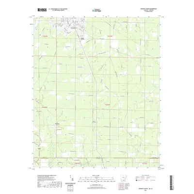
2020 Map of Crossett South
USGS Topo · Published 2020About this map
Crossett and South Crossett anchor the northern edge of this landscape, where the gridded residential streets of the town center give way to a vast network of timber roads and drainage systems. This 2020 survey illustrates the deep borderlands where Ashley County, Arkansas, meets Morehouse Parish, Louisiana. The geography is defined by a dense web of slow-moving waterways, including Snake Creek and Williamson Creek, which carve through the timber-producing regions south of the city.
Find a feature on this map
131 named features on this map. Tap any name to fly to it.
Don’t see what you’re looking for? This feature index may not catch every label — zoom into the map to look around manually.
Map Details
Editions of this 2020 Crossett South Map
This is the sole edition of this map. No revisions or reprints were ever made.
Other maps of this area

1934 · Felsenthal
USGS Topo · 1:62,500

1935 · Naff
USGS Topo · 1:62,500

1935 · Haile
USGS Topo · 1:62,500

1937 · Felsenthal
USGS Topo · 1:62,500

1938 · Felsenthal
USGS Topo · 1:62,500

1939 · Felsenthal
USGS Topo · 1:62,500

1953 · Greenwood
USGS Topo · 1:250,000

1953 · El Dorado
USGS Topo · 1:250,000

1955 · Jackson
USGS Topo · 1:250,000

1955 · Shreveport
USGS Topo · 1:250,000