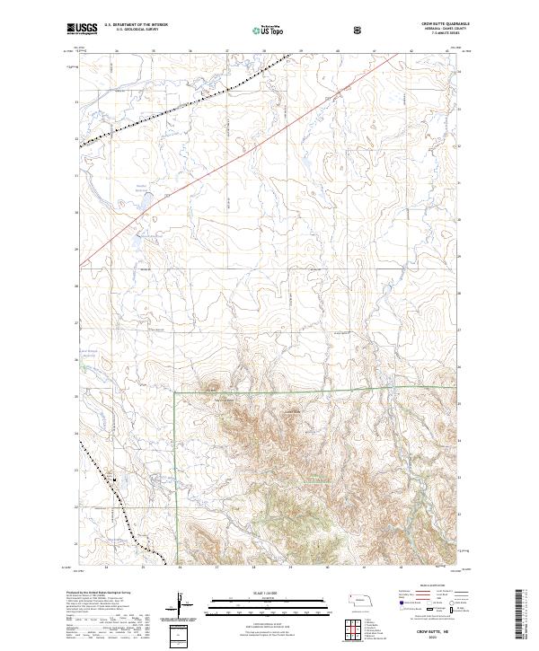
2023 Map of Crow Butte
USGS Topo · Published 2023About this map
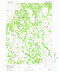
Nebraska National Forest dominates the southern reaches of this landscape, where the high plains rise into the distinctive formations of Crow Butte and Little Crow Butte. This area of Dawes County is defined by a series of drainages, including White River and First Woman Creek, which cut through the terrain north of the forest boundary. The map reveals a rural infrastructure of family-named reservoirs such as Souther Reservoir and Alcorn Reservoir, alongside established routes like Old Hwy 20 and Whitney Lake Rd. Local history is anchored by the Crow Butte Cem located along Horsehoe Rd, serving as a silent record of the families who settled these sections. The transition from the open northern flats to the complex topography of Crown Butte illustrates the traditional land use patterns of the Pine Ridge region.
Find a feature on this map
34 named features on this map. Tap any name to fly to it.
Don’t see what you’re looking for? This feature index may not catch every label — zoom into the map to look around manually.
Map Details
Editions of this 2023 Crow Butte Map
This is the sole edition of this map. No revisions or reprints were ever made.
Other maps of this area

1955 · Alliance
USGS Topo · 1:250,000

1957 · Alliance
USGS Topo · 1:250,000

1958 · Alliance
USGS Topo · 1:250,000

1980 · Horn
USGS Topo · 1:24,000

1980 · Crow Butte
USGS Topo · 1:24,000
1980 · Coffee Mill Butte SW
USGS Topo · 1:24,000

1980 · Dead Mans Creek
USGS Topo · 1:24,000
1980 · Trunk Butte
USGS Topo · 1:24,000
1980 · Chimney Butte
USGS Topo · 1:24,000
1980 · Belmont
USGS Topo · 1:24,000