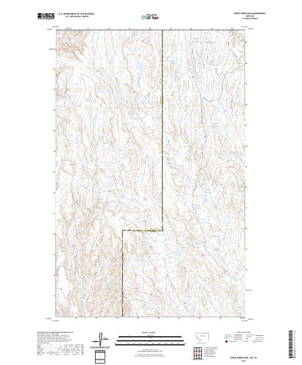
2024 Map of Crow Creek Dam
USGS Topo · Published 2024About this map
The boundary between Phillips and Valley counties runs north to south through this prairie landscape, where water management defines the modern terrain. Numerous named stock ponds and catchment areas dot the drainage basins of Snake Creek and Crow Creek, reflecting the essential nature of water storage in this part of Montana. Named features like Target Reservoir, Becky Reservoir, and Ardis Reservoir represent a highly engineered approach to rangeland, while the presence of Red Mud Coulee indicates the distinct erosion patterns and soil composition found in the region's draws.
Find a feature on this map
17 named features on this map. Tap any name to fly to it.
Don’t see what you’re looking for? This feature index may not catch every label — zoom into the map to look around manually.
Map Details
Editions of this 2024 Crow Creek Dam Map
This is the sole edition of this map. No revisions or reprints were ever made.
Other maps of this area

1954 · Glasgow
USGS Topo · 1:250,000

1957 · Glasgow
USGS Topo · 1:250,000

1958 · Glasgow
USGS Topo · 1:250,000

1984 · Thoeny Hills East
USGS Topo · 1:24,000

1984 · Snake Creek School
USGS Topo · 1:24,000

1984 · Black Calf Reservoir
USGS Topo · 1:24,000

1984 · Coulter Coulee
USGS Topo · 1:24,000

1984 · Dead Horse Coulee
USGS Topo · 1:24,000

1984 · Crow Creek Dam
USGS Topo · 1:24,000
2011 · Black Calf Reservoir
USGS Topo · 1:24,000