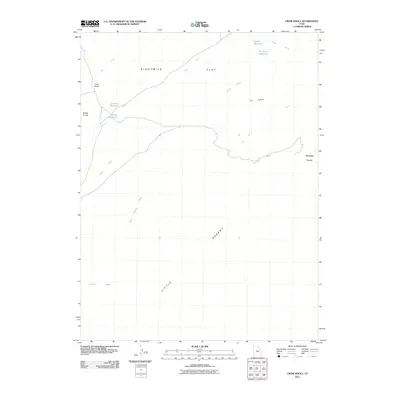
2011 Map of Crow Knoll
USGS Topo · Published 2011About this map
Eightmile Flat dominates the northern portion of this landscape in Uintah County, illustrating the arid expanse of eastern Utah during the early twenty-first century. This territory is defined by a series of isolated topographic high points and vital water-collection features necessary for land management in such a dry climate. Prominent landmarks such as Crow Knoll, Sheep Knolls, and the Antelope Knolls rise above the surrounding terrain, while the southern reaches transition into the Little Desert.
Find a feature on this map
15 named features on this map. Tap any name to fly to it.
Don’t see what you’re looking for? This feature index may not catch every label — zoom into the map to look around manually.
Map Details
Editions of this 2011 Crow Knoll Map
This is the sole edition of this map. No revisions or reprints were ever made.
Other maps of this area

1885 · East Tavaputs
USGS Topo · 1:250,000

1885 · Ashley
USGS Topo · 1:250,000

1885 · Uinta
USGS Topo · 1:250,000

1886 · Price River
USGS Topo · 1:250,000

1896 · Price River
USGS Topo · 1:250,000

1917 · Vernal
USGS Topo · 1:125,000

1939 · Duchesne
USGS Topo · 1:125,000

1953 · Nutters Hole
USGS Topo · 1:62,500

1954 · Salt Lake City
USGS Topo · 1:250,000

1954 · Vernal
USGS Topo · 1:250,000