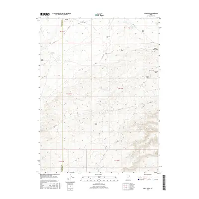
2017 Map of Crow Knoll
USGS Topo · Published 2017About this map
Little Desert and the high elevations of Uteland Butte define this arid landscape within the Uinta Basin. Located along the boundary of Duchesne and Uintah counties, the area is marked by a network of ranching infrastructure and intermittent water sources essential for livestock in this environment. Named features such as Coleman Reservoir, Sheep Reservoir, and Flu Knoll Reservoir dot the terrain, connected by dirt roads like Felter Ranch Rd and Big Wash Rd. The topography is characterized by distinct geological formations, including Eightmile Flat and the clustered peaks of Sheep Knolls and Flu Knolls. This map illustrates the specialized water management systems and remote road networks required to navigate and utilize the high desert country of eastern Utah.
Find a feature on this map
30 named features on this map. Tap any name to fly to it.
Don’t see what you’re looking for? This feature index may not catch every label — zoom into the map to look around manually.
Map Details
Editions of this 2017 Crow Knoll Map
This is the sole edition of this map. No revisions or reprints were ever made.
Other maps of this area

1885 · East Tavaputs
USGS Topo · 1:250,000

1885 · Ashley
USGS Topo · 1:250,000

1885 · Uinta
USGS Topo · 1:250,000

1886 · Price River
USGS Topo · 1:250,000

1896 · Price River
USGS Topo · 1:250,000

1917 · Vernal
USGS Topo · 1:125,000

1939 · Duchesne
USGS Topo · 1:125,000

1953 · Nutters Hole
USGS Topo · 1:62,500

1954 · Salt Lake City
USGS Topo · 1:250,000

1954 · Vernal
USGS Topo · 1:250,000