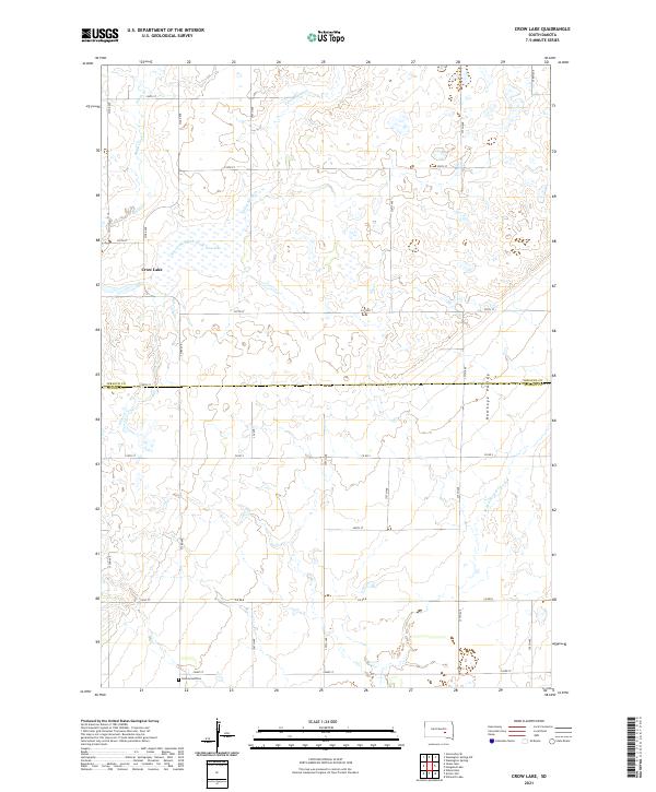
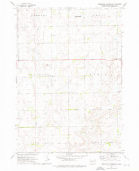
2021 Map of Crow Lake
USGS Topo · Published 2021About this map
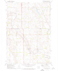
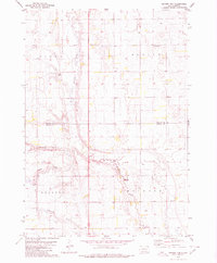
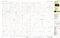
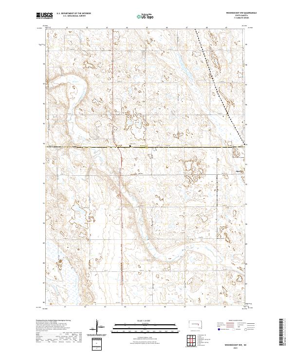
Crow Lake sits at the heart of this prairie landscape, serving as a prominent hydrological anchor near the border of Jerauld and Aurora counties. The terrain is defined by the gentle drainage of Smith Creek and its eastern fork to the north, while the southern reaches of the map transition into the Hawkeye Valley. This area is characterized by a precise section-line road grid, where avenues like 375th Ave and streets such as 240th St divide the land into neat agricultural parcels. Near the southern edge of the survey, the Underwood Cem provides a specific point of interest for genealogists and local historians, situated amidst the headwaters of the W Br Firesteel Cr. The map captures the quiet, systematic organization of the South Dakota plains, documenting the persistent rural infrastructure and family landmarks of the region.
Find a feature on this map
31 named features on this map. Tap any name to fly to it.
Don’t see what you’re looking for? This feature index may not catch every label — zoom into the map to look around manually.
Map Details
Editions of this 2021 Crow Lake Map
This is the sole edition of this map. No revisions or reprints were ever made.
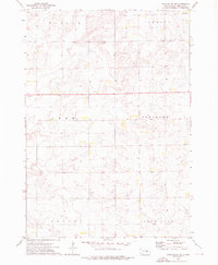
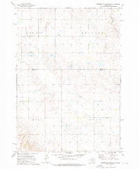
Historical Maps of Patten Township Through Time
18 maps found
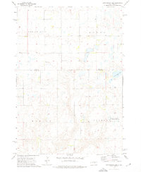
1973 Cottonwood Lake
Jerauld County, SD
1973 Gannvalley SE
Jerauld County, SD
1973 Wessington Springs NE
Jerauld County, SD

1973 Wessington Springs NW
Jerauld County, SD
1973 Wessington Springs SW
Jerauld County, SD
1973 Woonsocket NW
Jerauld County, SD
1979 Fraser Dam
Jerauld County, SD
1982 Crow Lake
Jerauld County, SD
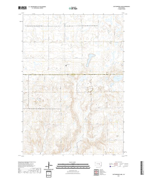
2021 Cottonwood Lake
Jerauld County, SD
2021 Crow Lake
Jerauld County, SD
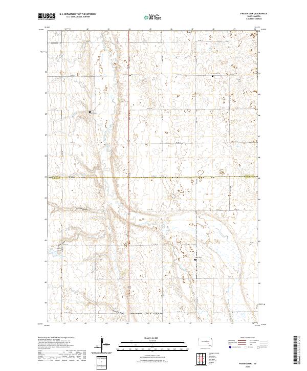
2021 Fraser Dam
Jerauld County, SD
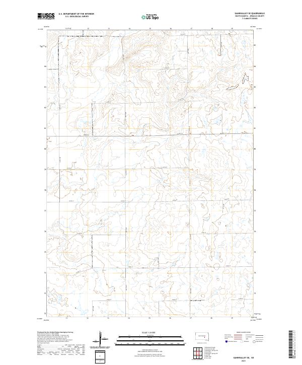
2021 Gannvalley SE
Jerauld County, SD
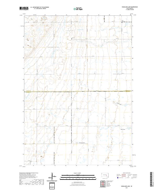
2021 Hoagland Lake
Jerauld County, SD
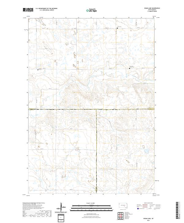
2021 Isham Lake
Jerauld County, SD
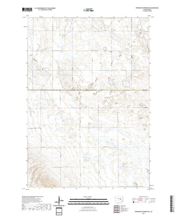
2021 Wessington Springs NE
Jerauld County, SD
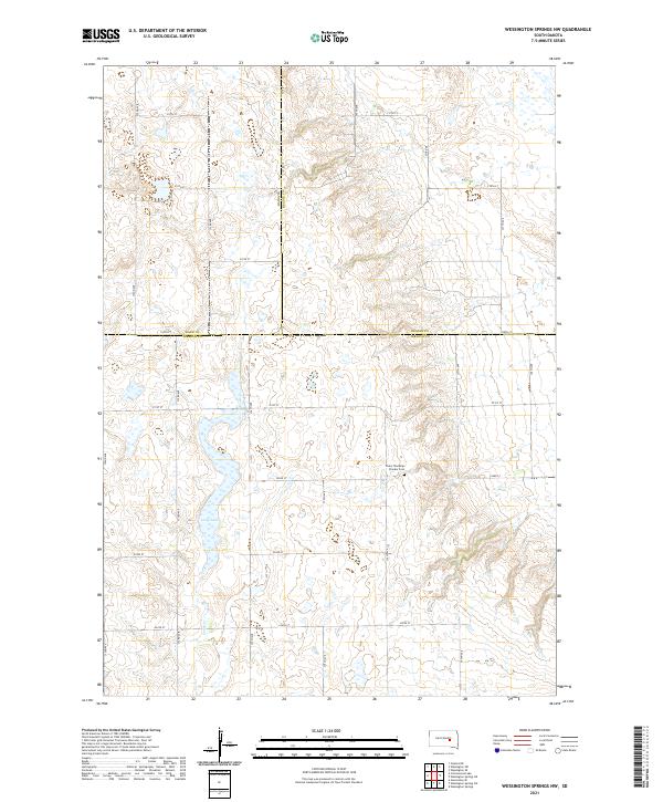
2021 Wessington Springs NW
Jerauld County, SD
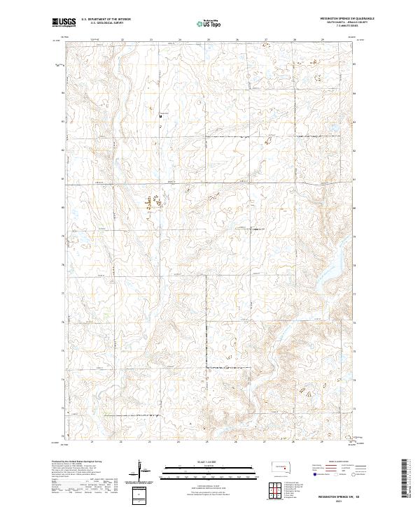
2021 Wessington Springs SW
Jerauld County, SD
2021 Woonsocket NW
Jerauld County, SD
Featured Locations
- Anina Township, SD
- Crow Lake Township, SD
- Patten Township, SD
- Pleasant Valley Township, SD
- Crow Lake, Crow Lake Township