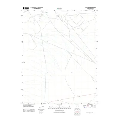
2012 Map of Crow Springs
USGS Topo · Published 2012About this map
Big Smoky Valley dominates the lower portion of this arid Nevada landscape, where the high desert terrain of Esmeralda County meets a network of unpaved tracks and 4WD routes. The water source at Crow Springs serves as a critical landmark in the north, situated just west of the Cirac Valley basin. This 2012 survey illustrates the modern configuration of access roads that traverse the basin floor, providing a detailed look at the geographic relationship between the valley floor and prominent high points such as Doyle Peak. The map captures a region primarily defined by its drainage patterns and the sparse transit infrastructure necessary for mining or ranching access in the Great Basin.
Find a feature on this map
4 named features on this map. Tap any name to fly to it.
Don’t see what you’re looking for? This feature index may not catch every label — zoom into the map to look around manually.
Map Details
Editions of this 2012 Crow Springs Map
This is the sole edition of this map. No revisions or reprints were ever made.
Other maps of this area

1907 · Tonopah
USGS Topo · 1:250,000

1908 · Tonopah
USGS Topo · 1:250,000

1956 · Tonopah
USGS Topo · 1:250,000

1959 · Tonopah
USGS Topo · 1:250,000

1961 · Lone Mtn
USGS Topo · 1:62,500

1962 · Tonopah
USGS Topo · 1:250,000

1964 · San Antonio Ranch
USGS Topo · 1:62,500
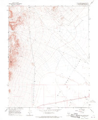
1968 · Crow Springs
USGS Topo · 1:24,000
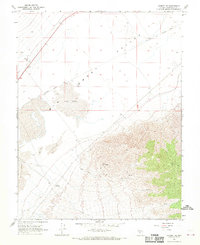
1968 · Gilbert SE
USGS Topo · 1:24,000
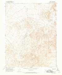
1968 · Gilbert
USGS Topo · 1:24,000