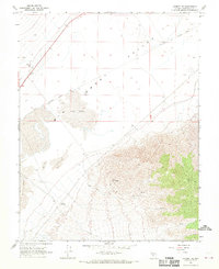
1968 Map of Gilbert SE
USGS Topo · Published 1970About this map
Lone Mtn dominates the southeastern horizon, providing a dramatic vertical contrast to the expansive flatlands of the Smoky Valley. The landscape is defined by its arid transit and utility infrastructure, where an Old Railroad Grade cuts a straight path across the valley floor, south of a solitary Corral. Near the base of the mountain, a Coaldale Substation and scattered Ruins suggest a history of localized industrial or ranching activity in this corner of Esmeralda County.
Find a feature on this map
13 named features on this map. Tap any name to fly to it.
Don’t see what you’re looking for? This feature index may not catch every label — zoom into the map to look around manually.
Map Details
Editions of this 1968 Gilbert SE Map
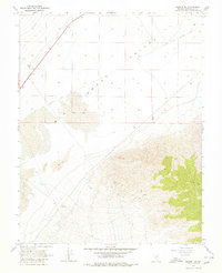
2 editions found
Other maps of this area

1898 · Silver Peak
USGS Topo · 1:125,000

1900 · Silver Peak
USGS Topo · 1:125,000

1907 · Tonopah
USGS Topo · 1:250,000

1908 · Lida
USGS Topo · 1:250,000

1908 · Tonopah
USGS Topo · 1:250,000

1913 · Lida
USGS Topo · 1:250,000

1945 · Goldfield
USGS Topo · 1:125,000

1954 · Goldfield
USGS Topo · 1:250,000

1955 · Goldfield
USGS Topo · 1:250,000

1956 · Tonopah
USGS Topo · 1:250,000