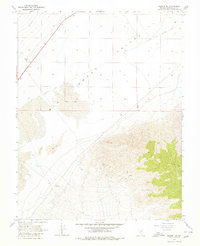
1968 Map of Gilbert SE
USGS Topo · Published 1980About this map
Smoky Valley dominates the northern landscape of this Esmeralda County region, where the arid floor transitions into the massive Sand Dunes and the rising slopes of Lone Mtn. In the late 1960s, this area was defined by the intersection of industrial infrastructure and remnant transit routes, most notably the Old Railroad Grade that cuts across the valley floor. Evidence of utility and ranching activity persists at the Coaldale Substation and a lone Corral near the northern boundary. The terrain is marked by a network of Jeep Trails and scattered Springs on the mountain flanks, while localized Gravel Pits indicate mid-century extraction. This survey provides a precise look at the high-desert geography before later development, documenting the specific locations of wells and ruins against a backdrop of shifting sands.
Find a feature on this map
12 named features on this map. Tap any name to fly to it.
Don’t see what you’re looking for? This feature index may not catch every label — zoom into the map to look around manually.
Map Details
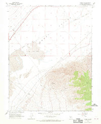
Editions of this 1968 Gilbert SE Map
2 editions found
Other maps of this area

1898 · Silver Peak
USGS Topo · 1:125,000

1900 · Silver Peak
USGS Topo · 1:125,000

1907 · Tonopah
USGS Topo · 1:250,000

1908 · Lida
USGS Topo · 1:250,000

1908 · Tonopah
USGS Topo · 1:250,000

1913 · Lida
USGS Topo · 1:250,000

1945 · Goldfield
USGS Topo · 1:125,000

1954 · Goldfield
USGS Topo · 1:250,000

1955 · Goldfield
USGS Topo · 1:250,000

1956 · Tonopah
USGS Topo · 1:250,000