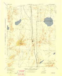
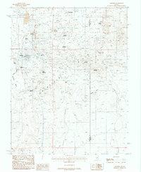
1945 Map of Goldfield
USGS Topo · Published 1945About this map
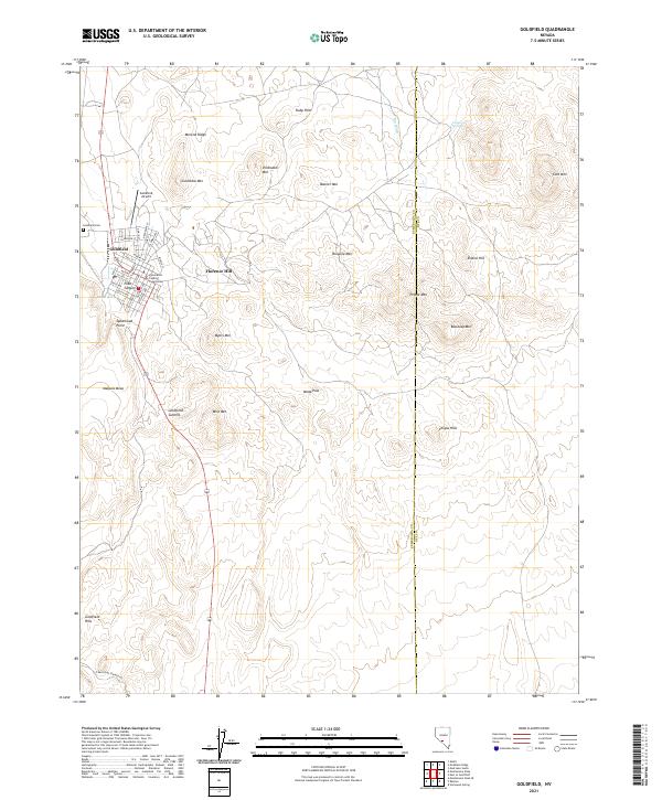
Goldfield anchors this wartime survey, showing the settlement and its critical transportation links during the mid-1940s. The Tonopah and Goldfield railroad line runs north-south through the center of the sheet, providing a corridor for mining and military activity between Klondike and the southern reaches of the quadrangle. The map reveals a transition in land use as the vast Tonopah Bombing Range occupies the eastern portion of the terrain, established across the high desert flats and mountains.
Find a feature on this map
35 named features on this map. Tap any name to fly to it.
Don’t see what you’re looking for? This feature index may not catch every label — zoom into the map to look around manually.
Map Details
Editions of this 1945 Goldfield Map
This is the sole edition of this map. No revisions or reprints were ever made.
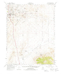
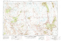
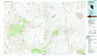
Historical Maps of Goldfield Through Time
12 maps found
1945 Goldfield
Esmeralda County, NV
1952 Goldfield
Esmeralda County, NV
1954 Goldfield
Esmeralda County, NV

1955 Goldfield
Esmeralda County, NV

1958 Goldfield
Esmeralda County, NV

1962 Goldfield
Esmeralda County, NV
1985 Goldfield
Esmeralda County, NV
1987 Goldfield
Esmeralda County, NV
2012 Goldfield
Esmeralda County, NV
2014 Goldfield
Esmeralda County, NV
2018 Goldfield
Esmeralda County, NV
2021 Goldfield
Esmeralda County, NV