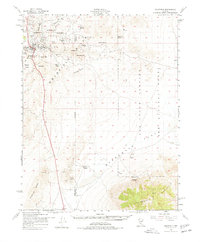
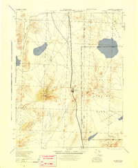
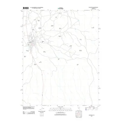
1952 Map of Goldfield
USGS Topo · Published 1978About this map
Goldfield stands at the heart of this mid-century survey, surrounded by the remnants of its legendary mining boom. The landscape is heavily marked by the physical structures of the early 20th-century gold rush, including the Florence Mine, Silver Pick Mine, and the Columbia Mill (Ruin). These sites, alongside a Cem and numerous unnamed shafts, illustrate a terrain once bustling with activity during the height of the Nevada mining era.
Find a feature on this map
35 named features on this map. Tap any name to fly to it.
Don’t see what you’re looking for? This feature index may not catch every label — zoom into the map to look around manually.
Map Details
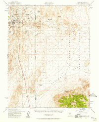
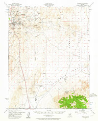
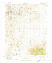
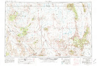
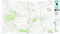
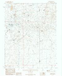
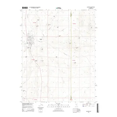
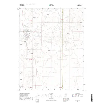
Editions of this 1952 Goldfield Map
4 editions found
Historical Maps of Goldfield Through Time
12 maps found
1945 Goldfield
Esmeralda County, NV
1952 Goldfield
Esmeralda County, NV
1954 Goldfield
Esmeralda County, NV

1955 Goldfield
Esmeralda County, NV

1958 Goldfield
Esmeralda County, NV

1962 Goldfield
Esmeralda County, NV
1985 Goldfield
Esmeralda County, NV
1987 Goldfield
Esmeralda County, NV
2012 Goldfield
Esmeralda County, NV
2014 Goldfield
Esmeralda County, NV
2018 Goldfield
Esmeralda County, NV
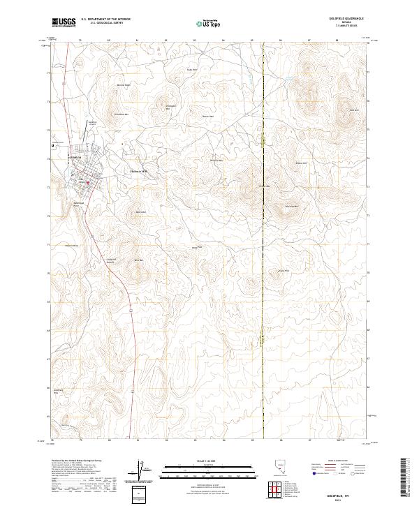
2021 Goldfield
Esmeralda County, NV