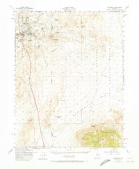
1952 Map of Goldfield
USGS Topo · Published 1973About this map
The mining landscape around Goldfield is preserved in this 1952 survey, showing a district still marked by its early 20th-century boom foundations. Evidence of heavy industrial activity is concentrated near Florence Hill, where the Florence Mine and Silver Pick Mine stand among a network of shafts and tailings. Further north, the Columbia Mill (Ruin) suggests the scale of historical ore processing that once dominated these hills. The transition from industrial town to high-desert expanse is sharp, with the settlement giving way to prominent peaks like Vindicator Mtn and Columbia Mtn.
Find a feature on this map
34 named features on this map. Tap any name to fly to it.
Don’t see what you’re looking for? This feature index may not catch every label — zoom into the map to look around manually.
Map Details
Editions of this 1952 Goldfield Map
4 editions found
Other maps of this area

1908 · Kawich
USGS Topo · 1:250,000

1908 · Lida
USGS Topo · 1:250,000

1913 · Lida
USGS Topo · 1:250,000

1942 · Tolicha Peak
USGS Topo · 1:125,000

1942 · Cactus Range
USGS Topo · 1:125,000

1945 · Goldfield
USGS Topo · 1:125,000

1952 · Cactus Spring
USGS Topo · 1:62,500

1952 · Mud Lake
USGS Topo · 1:62,500

1952 · Goldfield
USGS Topo · 1:62,500

1952 · Cactus Peak
USGS Topo · 1:62,500