
1952 Map of Cactus Spring
USGS Topo · Published 1958About this map
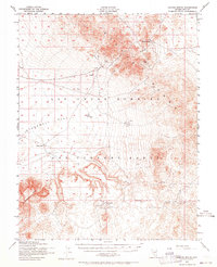
The Las Vegas Bombing and Gunnery Range dominates the high desert terrain of central Nye County, where military operations overlay a landscape of earlier prospectors. This 1952 survey documents the transition from mining frontiers to Cold War military infrastructure, featuring scattered target markers and Bunkers alongside the remnants of the silver and gold era. The Cactus Range rises sharply above the broad expanse of Stonewall Flat, sheltering the critical water source at Cactus Spring. Evidence of early 20th-century industry is visible at the Urania Mine and the Gold Crater (Site), where a cluster of labeled Mining Area annotations and Ruins mark the locations of former camps. This map serves as a vital record for those tracing the footprints of remote Nevada mining sites that were absorbed into restricted government zones.
Find a feature on this map
16 named features on this map. Tap any name to fly to it.
Don’t see what you’re looking for? This feature index may not catch every label — zoom into the map to look around manually.
Map Details
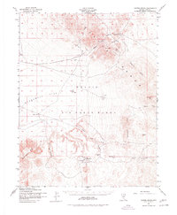
Editions of this 1952 Cactus Spring Map
3 editions found
Other maps of this area

1908 · Kawich
USGS Topo · 1:250,000

1908 · Lida
USGS Topo · 1:250,000

1913 · Lida
USGS Topo · 1:250,000

1942 · Tolicha Peak
USGS Topo · 1:125,000

1942 · Cactus Range
USGS Topo · 1:125,000

1945 · Goldfield
USGS Topo · 1:125,000

1952 · Stinking Spring
USGS Topo · 1:62,500

1952 · Mellan
USGS Topo · 1:62,500

1952 · Mud Lake
USGS Topo · 1:62,500
1952 · Black Mtn
USGS Topo · 1:62,500