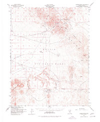
1952 Map of Cactus Spring
USGS Topo · Published 1978About this map
The Cactus Range dominates this mid-century landscape in Nye County, revealing a region defined by its isolation and specialized land use. Photographed and field-checked in 1952, the map shows the transition of this arid basin into the Nellis Air Force Range, where numerous Target labels appear across the flats. Despite the military presence, the map preserves the remnants of an earlier prospecting era, most notably the Gold Crater (Site) and several scattered Mining Areas. Essential water sources like Cactus Spring and Desert Well appear as critical landmarks in a desert terrain marked by features such as Stonewall Mtn and the Dacite Hills. The geography is further punctuated by geological curiosities like Civet Cat Cave and the Sleeping Column Canyon, which provide a detailed record of the natural character of this remote Nevada corner.
Find a feature on this map
25 named features on this map. Tap any name to fly to it.
Don’t see what you’re looking for? This feature index may not catch every label — zoom into the map to look around manually.
Map Details
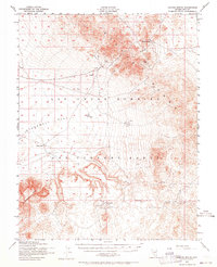
Editions of this 1952 Cactus Spring Map
3 editions found
Other maps of this area

1908 · Kawich
USGS Topo · 1:250,000

1908 · Lida
USGS Topo · 1:250,000

1913 · Lida
USGS Topo · 1:250,000

1942 · Tolicha Peak
USGS Topo · 1:125,000

1942 · Cactus Range
USGS Topo · 1:125,000

1945 · Goldfield
USGS Topo · 1:125,000

1952 · Stinking Spring
USGS Topo · 1:62,500

1952 · Mellan
USGS Topo · 1:62,500

1952 · Cactus Spring
USGS Topo · 1:62,500

1952 · Mud Lake
USGS Topo · 1:62,500