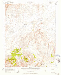
1952 Map of Black Mtn
USGS Topo · Published 1958About this map
The Las Vegas Bombing and Gunnery Range dominates this mid-century survey of the Nye County desert, reflecting the era's intensive military use of the Nevada interior. This landscape is defined by its arid geography, where isolated water sources like Salisbury Well and Gold Flat Well No 2 were critical landmarks for travelers and surveyors alike. The terrain transitions from the broad expanse of Gold Flat and the basin of Dry Lake to the prominent heights of Black Mtn and Mt Helen. Further south, the map reveals the complex topography of the Pahute Mesa and the deeply incised Thirsty Canyon. This document provides a look at the region's geographic infrastructure before later developments, detailing the relationship between mountain peaks like Quartz Mtn and the vast, open flats that made the area ideal for its mid-century defense role.
Find a feature on this map
10 named features on this map. Tap any name to fly to it.
Don’t see what you’re looking for? This feature index may not catch every label — zoom into the map to look around manually.
Map Details
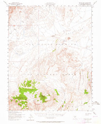
Editions of this 1952 Black Mtn Map
2 editions found
Other maps of this area

1908 · Kawich
USGS Topo · 1:250,000

1942 · Tolicha Peak
USGS Topo · 1:125,000

1942 · Cactus Range
USGS Topo · 1:125,000

1942 · Reveille Peak
USGS Topo · 1:125,000

1942 · Wheelbarrow Peak
USGS Topo · 1:125,000

1952 · Mellan
USGS Topo · 1:62,500

1952 · Cactus Spring
USGS Topo · 1:62,500

1952 · Quartzite Mtn
USGS Topo · 1:62,500

1952 · Timber Mountain
USGS Topo · 1:62,500

1952 · Silent Canyon
USGS Topo · 1:62,500