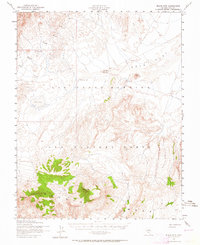
1952 Map of Black Mtn
USGS Topo · Published 1964About this map
The Las Vegas Bombing and Gunnery Range dominates this mid-century desert landscape, a high-altitude territory defined by isolation and military restricted access. This area in Nye County showcases the stark transition between the broad, flat expanses of Gold Flat and the elevated volcanic terrain of the Pahute plateau. The map captures critical water sources in an arid environment, specifically Salisbury Well and Gold Flat Well No 2, which were essential for ranching or military surveying before the region's further development. Prominent landmarks such as Black Mtn and Quartz Mtn provide the primary vertical relief above the basin of Dry Lake. The inclusion of Thirsty Canyon underscores the challenging hydrology of the high desert, where seasonal drainage patterns are clearly etched into the topography.
Find a feature on this map
9 named features on this map. Tap any name to fly to it.
Don’t see what you’re looking for? This feature index may not catch every label — zoom into the map to look around manually.
Map Details
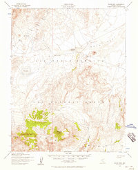
Editions of this 1952 Black Mtn Map
2 editions found
Other maps of this area

1908 · Kawich
USGS Topo · 1:250,000

1942 · Tolicha Peak
USGS Topo · 1:125,000

1942 · Cactus Range
USGS Topo · 1:125,000

1942 · Reveille Peak
USGS Topo · 1:125,000

1942 · Wheelbarrow Peak
USGS Topo · 1:125,000

1952 · Mellan
USGS Topo · 1:62,500

1952 · Cactus Spring
USGS Topo · 1:62,500

1952 · Quartzite Mtn
USGS Topo · 1:62,500

1952 · Timber Mountain
USGS Topo · 1:62,500

1952 · Silent Canyon
USGS Topo · 1:62,500