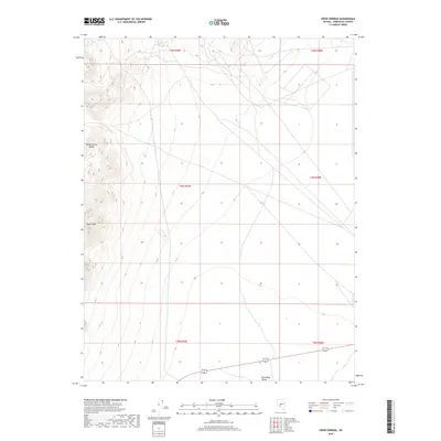
2018 Map of Crow Springs
USGS Topo · Published 2018About this map
Monte Cristo Range topography dominates the western portion of this Esmeralda County landscape, rising sharply from the basin floor. The terrain transitions from the high elevations of Doyle Peak down toward the wide, arid expanse of the Big Smoky Valley to the southeast. This 2018 survey illustrates the classic Basin and Range geography of central Nevada, where steep mountain fronts meet alluvial fans. At the northern edge of the range, Crow Springs provides a rare water source in a region defined by its isolation and dramatic vertical relief. The map reveals a network of primitive roads and section lines that trace the public land survey system across the desert floor, reflecting the traditional township and range divisions of t4n r39e and surrounding sections.
Find a feature on this map
10 named features on this map. Tap any name to fly to it.
Don’t see what you’re looking for? This feature index may not catch every label — zoom into the map to look around manually.
Map Details
Editions of this 2018 Crow Springs Map
This is the sole edition of this map. No revisions or reprints were ever made.
Other maps of this area

1907 · Tonopah
USGS Topo · 1:250,000

1908 · Tonopah
USGS Topo · 1:250,000

1956 · Tonopah
USGS Topo · 1:250,000

1959 · Tonopah
USGS Topo · 1:250,000

1961 · Lone Mtn
USGS Topo · 1:62,500

1962 · Tonopah
USGS Topo · 1:250,000

1964 · San Antonio Ranch
USGS Topo · 1:62,500
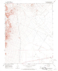
1968 · Crow Springs
USGS Topo · 1:24,000
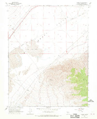
1968 · Gilbert SE
USGS Topo · 1:24,000
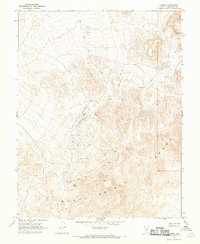
1968 · Gilbert
USGS Topo · 1:24,000