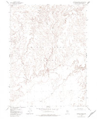
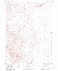
1979 Map of Crowbar Spring
USGS Topo · Published 1984About this map
The Black Rock Desert dominates this arid landscape in Humboldt County, where the topography transition from stark playa to the drainage systems of the surrounding hills. Water is the defining scarce resource of the area, centered around Crowbar Spring and the intermittent flows of Paiute Creek, Battle Creek, and Indian Creek. These watercourses eventually give way to the broad, flat basin of the Quinn River as it meanders through the desert floor. This 1970s survey, compiled from 1972 aerial photography and 1975 field checks, illustrates the complex drainage patterns and elevation contours of one of Nevada's most distinctive geographic regions before modern recreational usage increased in intensity.
Find a feature on this map
6 named features on this map. Tap any name to fly to it.
Don’t see what you’re looking for? This feature index may not catch every label — zoom into the map to look around manually.
Map Details
Editions of this 1979 Crowbar Spring Map
2 editions found
Other maps of this area

1886 · Disaster
USGS Topo · 1:250,000

1893 · Disaster
USGS Topo · 1:250,000

1954 · Vya
USGS Topo · 1:250,000

1958 · Vya
USGS Topo · 1:250,000

1962 · Vya
USGS Topo · 1:250,000

1966 · King Lear Peak
USGS Topo · 1:62,500

1972 · Pinto Mountain
USGS Topo · 1:24,000
1972 · Leonard Cr. Slough South
USGS Topo · 1:24,000
1972 · Paiute Meadows
USGS Topo · 1:24,000
1979 · Pidgeon Spring
USGS Topo · 1:24,000