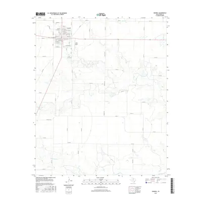
2016 Map of Crowell
USGS Topo · Published 2016About this map
Crowell serves as the seat of Foard County, organized around a traditional grid of streets including W Commerce St, Paducah St, and W Texas St. This high-plains landscape is defined by the headwaters and drainage of several key waterways, most notably Beaver Cr and Middle Beaver Cr as they cut through the terrain south of town. The agricultural and ranching character of the region is evident in the dense network of county roads, such as Co Rd 213 and Co Rd 314, which connect the town to outlying areas. Civic infrastructure is well-established near the town center, featuring the Crowell Cem and the Foard County Airport to the east, reflecting the mid-20th-century aviation growth that supported these rural Texas communities.
Find a feature on this map
57 named features on this map. Tap any name to fly to it.
Don’t see what you’re looking for? This feature index may not catch every label — zoom into the map to look around manually.
Map Details
Editions of this 2016 Crowell Map
This is the sole edition of this map. No revisions or reprints were ever made.
Other maps of this area

1932 · Vivian
USGS Topo · 1:62,500

1954 · Wichita Falls
USGS Topo · 1:250,000

1955 · Lawton
USGS Topo · 1:250,000

1958 · Wichita Falls
USGS Topo · 1:250,000

1958 · Medicine Mound
USGS Topo · 1:62,500

1960 · Teacup Mountain
USGS Topo · 1:62,500

1966 · Truscott North
USGS Topo · 1:24,000

1966 · Colwell Creek
USGS Topo · 1:24,000

1966 · Halsell Ranch
USGS Topo · 1:24,000

1966 · Crowell
USGS Topo · 1:24,000