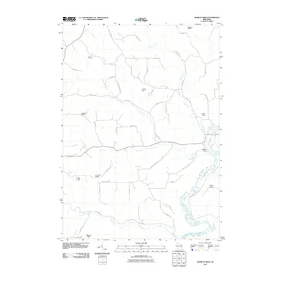
2010 Map of Crowley Ridge
USGS Topo · Published 2010About this map
Crowley Ridge anchors this upland landscape in Crawford County, where high plateaus are bisected by numerous creeks and the winding Kickapoo River. The terrain is defined by its prominent ridges, including Swatek Ridge and Shanghai Ridge, which have long shaped the settlement patterns and road networks of the region. Local genealogy is anchored at the Shanghai Ridge Cemetery and Stewart Cemetery, while small named clusters such as Citron Valley and Pleasant Ridge sit at the intersections of winding rural lanes. The drainage system is complex, with Pine Creek, Citron Creek, and Duffy Creek carving deep valleys into the driftless-style topography, creating a distinct network of hollows like Walker Hollow.
Find a feature on this map
55 named features on this map. Tap any name to fly to it.
Don’t see what you’re looking for? This feature index may not catch every label — zoom into the map to look around manually.
Map Details
Editions of this 2010 Crowley Ridge Map
This is the sole edition of this map. No revisions or reprints were ever made.
Other maps of this area

1903 · Waukon
USGS Topo · 1:125,000

1924 · Gays Mills
USGS Topo · 1:62,500

1926 · Gays Mills
USGS Topo · 1:62,500

1926 · Wauzeka
USGS Topo · 1:62,500

1929 · Ferryville
USGS Topo · 1:62,500

1929 · Prairie Du Chien
USGS Topo · 1:62,500

1932 · Ferryville
USGS Topo · 1:62,500

1932 · Prairie Du Chien
USGS Topo · 1:62,500

1958 · La Crosse
USGS Topo · 1:250,000

1961 · La Crosse
USGS Topo · 1:250,000