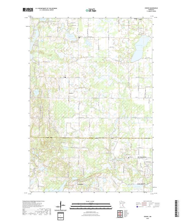
2022 Map of Crown
USGS Topo · Published 2022About this map
Crown and Oxlip sit at the northern reaches of this landscape where the borders of Isanti Co and Anoka Co meet. The area is characterized by an intricate network of wetlands and small glacial basins including Mud Lake, Baxter Lake, and German Lake, which are interspersed between a strictly gridded system of local roads like Co Rd 8 and Co Rd 7. The southern portion of the sheet shows the encroaching development of St. Francis and Nowthen, where the terrain begins to transition from rural townships to organized residential clusters.
Find a feature on this map
60 named features on this map. Tap any name to fly to it.
Don’t see what you’re looking for? This feature index may not catch every label — zoom into the map to look around manually.
Map Details
Editions of this 2022 Crown Map
This is the sole edition of this map. No revisions or reprints were ever made.
Other maps of this area

1916 · St. Francis
USGS Topo · 1:62,500

1919 · St. Francis
USGS Topo · 1:62,500

1953 · Stillwater
USGS Topo · 1:250,000

1955 · Stillwater
USGS Topo · 1:250,000

1958 · Stillwater
USGS Topo · 1:250,000

1961 · Bradford
USGS Topo · 1:24,000

1961 · Lake Fremont
USGS Topo · 1:24,000

1961 · Elk River
USGS Topo · 1:24,000

1961 · Wyanett
USGS Topo · 1:24,000

1961 · Elk River
USGS Topo · 1:62,500