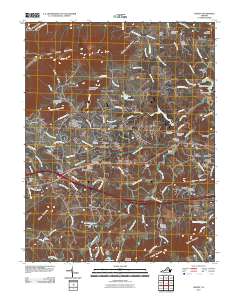
2010 Map of Crozet
USGS Topo · Published 2010About this map
Crozet serves as the central hub of this Albemarle County landscape, situated where the CSX rail line passes through the foothills of the Blue Ridge. The map reveals a dense network of residential developments and historic communities, from the established streets of Brownsville and Freetown to newer clusters like Foothill Village and Orchard Acres. The area is defined by its water management and educational institutions, most notably the expansive grounds of the Miller School in the south and the Beaver Creek Reservoir to the east.
Find a feature on this map
123 named features on this map. Tap any name to fly to it.
Don’t see what you’re looking for? This feature index may not catch every label — zoom into the map to look around manually.
Map Details
Editions of this 2010 Crozet Map
This is the sole edition of this map. No revisions or reprints were ever made.
Other maps of this area

1892 · Buckingham
USGS Topo · 1:125,000

1892 · Harrisonburg
USGS Topo · 1:125,000

1929 · Covesville
USGS Topo · 1:62,500

1931 · University
USGS Topo · 1:62,500

1934 · Waynesboro
USGS Topo · 1:48,000

1935 · Covesville
USGS Topo · 1:62,500

1935 · University
USGS Topo · 1:62,500

1939 · Waynesboro
USGS Topo · 1:62,500

1943 · Lovingston
USGS Topo · 1:62,500

1945 · Covesville
USGS Topo · 1:62,500