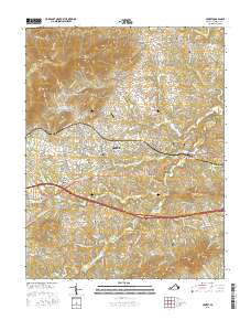
2016 Map of Crozet
USGS Topo · Published 2016About this map
The town of Crozet serves as the central hub of this Albemarle County landscape, where the Blue Ridge foothills meet the Piedmont. The area is defined by a dense network of water and topography, with the Mechums River and Moormans River draining the higher elevations of Bucks Elbow Mtn and Beaver Creek Mtn. The transport corridors of the Rockfish Gap Tpke and Three Notched Rd trace historical routes through the valleys, connecting established settlements like White Hall, Yancey Mills, and Brownsville.
Find a feature on this map
78 named features on this map. Tap any name to fly to it.
Don’t see what you’re looking for? This feature index may not catch every label — zoom into the map to look around manually.
Map Details
Editions of this 2016 Crozet Map
This is the sole edition of this map. No revisions or reprints were ever made.
Other maps of this area

1892 · Buckingham
USGS Topo · 1:125,000

1892 · Harrisonburg
USGS Topo · 1:125,000

1929 · Covesville
USGS Topo · 1:62,500

1931 · University
USGS Topo · 1:62,500

1934 · Waynesboro
USGS Topo · 1:48,000

1935 · Covesville
USGS Topo · 1:62,500

1935 · University
USGS Topo · 1:62,500

1939 · Waynesboro
USGS Topo · 1:62,500

1943 · Lovingston
USGS Topo · 1:62,500

1945 · Covesville
USGS Topo · 1:62,500