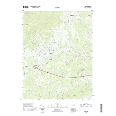
2019 Map of Crozet
USGS Topo · Published 2019About this map
Crozet and its surrounding Piedmont villages stand at the foothills of the Blue Ridge, where the CSX Transportation line and the Mechums River define the local geography. This 2019 survey captures the developed corridor of The Meadows and Brownsville, contrasting with the higher elevations of Beaver Creek Mtn and Bucks Elbow Mtn to the west. The landscape is dotted with small family and community burial grounds, including Rock Gate Cem and Mount Plains Cem, which serve as vital markers for local genealogical research.
Find a feature on this map
178 named features on this map. Tap any name to fly to it.
Don’t see what you’re looking for? This feature index may not catch every label — zoom into the map to look around manually.
Map Details
Editions of this 2019 Crozet Map
This is the sole edition of this map. No revisions or reprints were ever made.
Other maps of this area

1892 · Buckingham
USGS Topo · 1:125,000

1892 · Harrisonburg
USGS Topo · 1:125,000

1929 · Covesville
USGS Topo · 1:62,500

1931 · University
USGS Topo · 1:62,500

1934 · Waynesboro
USGS Topo · 1:48,000

1935 · Covesville
USGS Topo · 1:62,500

1935 · University
USGS Topo · 1:62,500

1939 · Waynesboro
USGS Topo · 1:62,500

1943 · Lovingston
USGS Topo · 1:62,500

1945 · Covesville
USGS Topo · 1:62,500