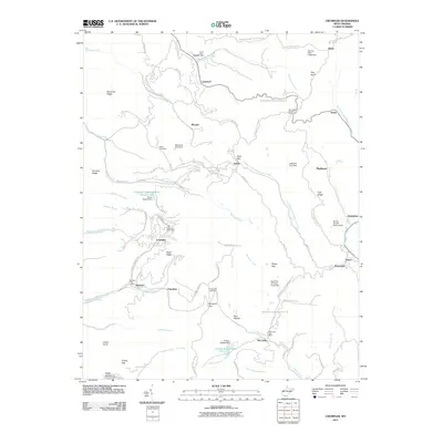
2011 Map of Crumpler
USGS Topo · Published 2011About this map
Crumpler and the surrounding coalfield communities of McDowell and Mercer Counties are defined by a complex network of ridges and watercourses. This early 21st-century record shows the deep-cut terrain where Pinnacle Creek and Lefthand Fork Widemouth Creek have shaped the settlement patterns, forcing towns like Ashland and McComas to follow the narrow valley floors. The landscape is marked by numerous industrial water management features, including the Crumpler Impoundment Number Two and the Boyds Branch Refuse Dam, reflecting the region's long history of resource extraction. Local genealogy is anchored by the Ashland Post Office and Crumpler Post Office, along with quiet burial grounds such as Bailey Cemetery and Prosperity Cemetery. High points like Pilot Knob and Johns Knob tower over the hollows, while the Mercer-McDowell Rd traces the boundary between these two historic mining counties.
Find a feature on this map
88 named features on this map. Tap any name to fly to it.
Don’t see what you’re looking for? This feature index may not catch every label — zoom into the map to look around manually.
Map Details
Editions of this 2011 Crumpler Map
This is the sole edition of this map. No revisions or reprints were ever made.
Other maps of this area

1887 · Pocahontas
USGS Topo · 1:125,000

1891 · Pocahontas
USGS Topo · 1:125,000

1891 · Raleigh
USGS Topo · 1:125,000

1894 · Pocahontas
USGS Topo · 1:125,000

1895 · Pocahontas
USGS Topo · 1:125,000

1897 · Raleigh
USGS Topo · 1:125,000

1902 · Raleigh
USGS Topo · 1:125,000

1909 · Pocahontas Special
USGS Topo · 1:48,000

1911 · Flattop
USGS Topo · 1:48,000

1911 · Pocahontas Special
USGS Topo · 1:62,500