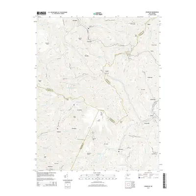
2014 Map of Crumpler
USGS Topo · Published 2014About this map
Crumpler and the surrounding coal-country settlements occupy a landscape defined by the intersection of McDowell, Mercer, and Wyoming counties. This 2014 survey captures a mature Appalachian terrain where industrial legacies and small mountain communities are interwoven along narrow hollows. Notable features like Crumpler Impoundment Number Two and the Tolliver Br Lake indicate the ongoing role of water management in the region, while the Pilot Knob Lookout Tower stands as a prominent landmark overlooking the complex ridge systems. The map details a network of dispersed settlements, including Ashland, McComas, and the aptly named Smokeless, connected by winding roads like the Ashland-Crumpler Rd. Family history is anchored in the landscape at Bailey Cem and Prosperity Cem, while terrain features such as Indian Ridge and Peach Ridge dictate the layout of the local infrastructure.
Find a feature on this map
91 named features on this map. Tap any name to fly to it.
Don’t see what you’re looking for? This feature index may not catch every label — zoom into the map to look around manually.
Map Details
Editions of this 2014 Crumpler Map
This is the sole edition of this map. No revisions or reprints were ever made.
Other maps of this area

1887 · Pocahontas
USGS Topo · 1:125,000

1891 · Pocahontas
USGS Topo · 1:125,000

1891 · Raleigh
USGS Topo · 1:125,000

1894 · Pocahontas
USGS Topo · 1:125,000

1895 · Pocahontas
USGS Topo · 1:125,000

1897 · Raleigh
USGS Topo · 1:125,000

1902 · Raleigh
USGS Topo · 1:125,000

1909 · Pocahontas Special
USGS Topo · 1:48,000

1911 · Flattop
USGS Topo · 1:48,000

1911 · Pocahontas Special
USGS Topo · 1:62,500