Loading...
Loading map...2022 Map of Crystal City
USGS Topo · Published 2022About this map
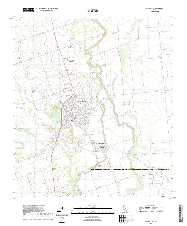
Crystal City serves as the central hub of this South Texas landscape, defined by a dense grid of streets that includes the Zavala County Courthouse. The surrounding area is characterized by several distinct residential clusters, including Las Colonias, Loma Grande Colonia, and Amaya Colonia to the north, as well as Chula Vista Colonia to the south. This pattern reflects the regional development of colonias and residential expansions near the municipal center.
Find a feature on this map
98 named features on this map. Tap any name to fly to it.
Don’t see what you’re looking for? This feature index may not catch every label — zoom into the map to look around manually.
Map Details
Date Portrayed2022
Date Published2022
PublisherU.S. Geological Survey
Map TypeTopographic
Scale1:24000
Physical Dimensions24 x 29 inches
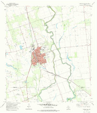
Editions of this 2022 Crystal City Map
This is the sole edition of this map. No revisions or reprints were ever made.
Historical Maps of Bee Crest Colonia Through Time
7 maps found


Featured Locations
- Amaya Colonia, TX
- Bee Crest Colonia, TX
- Chula Vista Colonia, TX
- Crystal City, TX
- Popeye Lake Colonia, TX
Source Details
SourceU.S. Geological Survey
CopyrightPublic Domain