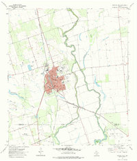
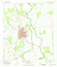
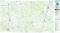
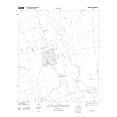
1972 Map of Crystal City
USGS Topo · Published 1975About this map
Crystal City serves as the focal point for this Southwest Texas landscape during the early 1970s, positioned where the Missouri Pacific railroad meets the fertile agricultural and ranching lands of Zavala County. The city's grid is clearly defined, bordered by the Municipal Airport and Edgewood Cem, while the surrounding terrain is dominated by the meandering Nueces River and the significant hydrologic system of Espantosa Slough and Espantosa Lake. This survey illustrates a regional economy rooted in both land and resource extraction, visible in the presence of the Texas A&M Experimental Sta to the south and the Elaine Oil Field near the Dimmit County line. The complex network of water bodies, including Comanche Lake and Duck Lake, alongside the River Spur rail line, highlights the historical importance of water management and transport infrastructure in this arid river valley.
Find a feature on this map
25 named features on this map. Tap any name to fly to it.
Don’t see what you’re looking for? This feature index may not catch every label — zoom into the map to look around manually.
Map Details
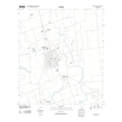
Editions of this 1972 Crystal City Map
2 editions found
Historical Maps of Crystal City Through Time
11 maps found

1953 Crystal City
Zavala County, TX

1955 Crystal City
Zavala County, TX

1961 Crystal City
Zavala County, TX

1968 Crystal City
Zavala County, TX
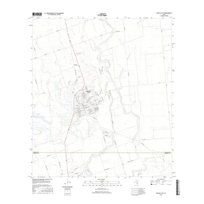
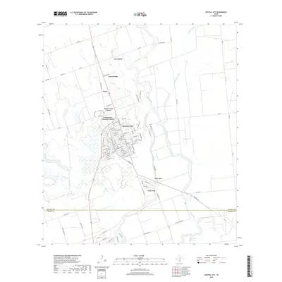
1972 Crystal City
Zavala County, TX
1985 Crystal City
Zavala County, TX
2010 Crystal City
Zavala County, TX
2013 Crystal City
Zavala County, TX
2016 Crystal City
Zavala County, TX
2019 Crystal City
Zavala County, TX
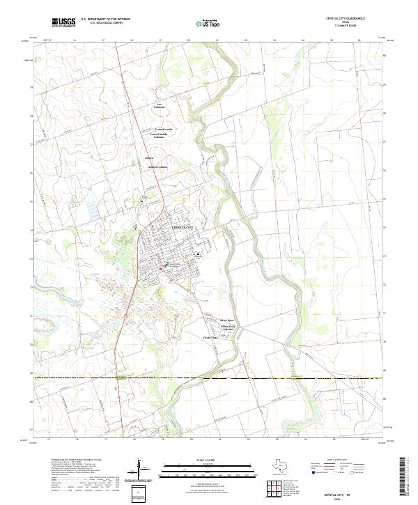
2022 Crystal City
Zavala County, TX
Featured Locations
- Byrd, TX
- Espantosa Colonia, TX
- Amaya Colonia, TX
- Crystal City, TX
- La Hacienda Estates Number 2 Colonia, TX