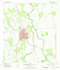
1972 Map of Crystal City
USGS Topo · Published 1975About this map
Crystal City serves as the focal point of this South Texas survey, situated within a landscape defined by the winding course of the Nueces River and a series of nearby water bodies including Espantosa Lake and Comanche Lake. The town's layout in the early 1970s reveals a structured municipal core featuring the Zapata Cross Plaza, a Golf Course, and significant educational infrastructure like the High Sch and Jr High Sch.
Find a feature on this map
34 named features on this map. Tap any name to fly to it.
Don’t see what you’re looking for? This feature index may not catch every label — zoom into the map to look around manually.
Map Details
Editions of this 1972 Crystal City Map
2 editions found
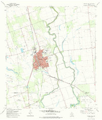
Other maps of this area

1939 · Carrizo Springs
USGS Topo · 1:62,500

1939 · Big Wells
USGS Topo · 1:62,500

1939 · La Pryor
USGS Topo · 1:62,500

1953 · Crystal City
USGS Topo · 1:250,000

1955 · Crystal City
USGS Topo · 1:250,000

1957 · Batesville
USGS Topo · 1:62,500

1961 · Crystal City
USGS Topo · 1:250,000

1968 · Crystal City
USGS Topo · 1:250,000
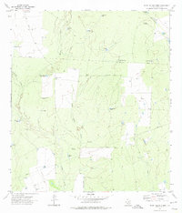
1972 · Beef Hollow Creek
USGS Topo · 1:24,000
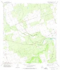
1972 · Carrizo Springs NW
USGS Topo · 1:24,000
Featured Places
- Crystal City, TX
- Byrd, TX
- Amaya Colonia, TX
- La Hacienda Estates Number 2 Colonia, TX
- Espantosa Colonia, TX