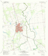
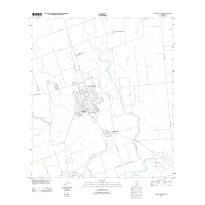
1985 Map of Crystal City
USGS Topo · Published 1992About this map
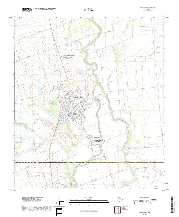
Crystal City and the surrounding South Texas Brush Country are defined by the convergence of the Nueces and Frio River basins during the mid-1980s. This survey illustrates the region's transition from the agricultural focus of the "Winter Garden" district at Winter Haven toward an economy increasingly reliant on energy and transport. The Missouri Pacific RR serves as a critical north-south artery through towns like Dilley and Pearsall, while the Big Wells Oil Field marks the industrial activity in northeastern Dimmit County. Historical hydrology is prominent here, notably the oxbows of Espantosa Lake and the various reservoirs like Boynton Res and Holcomb Reservoir that supported irrigation in this semi-arid landscape. From the county seat of Carrizo Springs to the smaller settlements of Brundage and Gardendale, the map preserves a network of rural school sites and landing strips that supported remote ranching operations.
Find a feature on this map
99 named features on this map. Tap any name to fly to it.
Don’t see what you’re looking for? This feature index may not catch every label — zoom into the map to look around manually.
Map Details
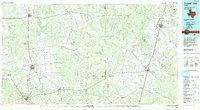
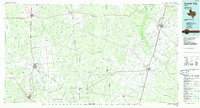
Editions of this 1985 Crystal City Map
2 editions found
Historical Maps of Crystal City Through Time
11 maps found

1953 Crystal City
Zavala County, TX

1955 Crystal City
Zavala County, TX

1961 Crystal City
Zavala County, TX

1968 Crystal City
Zavala County, TX
1972 Crystal City
Zavala County, TX
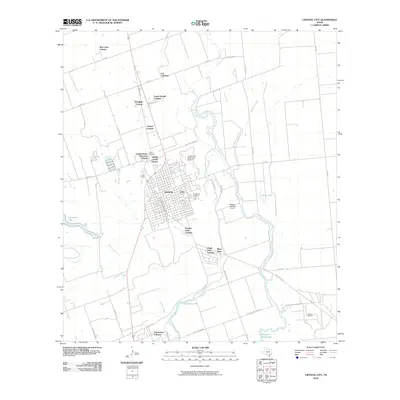
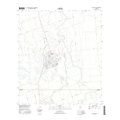
1985 Crystal City
Zavala County, TX
2010 Crystal City
Zavala County, TX
2013 Crystal City
Zavala County, TX
2016 Crystal City
Zavala County, TX
2019 Crystal City
Zavala County, TX
2022 Crystal City
Zavala County, TX