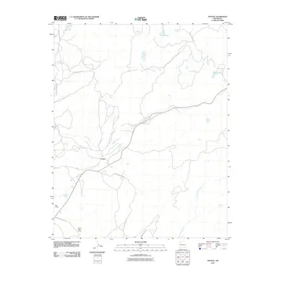
2010 Map of Crystal
USGS Topo · Published 2010About this map
Crystal serves as the central hub of this high-desert landscape in the Shiprock Agency region during the early 21st century. The settlement sits at a crossroads of the extensive BIA road network, including Indian Service Route 321 and Isr 32a. The hydrology of the area is defined by Crystal Creek, which flows westward across the quadrangle, while several named water bodies like Todacheene Lake and Berland Lake dot the higher elevations to the north. The terrain transitions from the distinct Red Valley in the west toward the Black Salt Valley in the south, illustrating the drainage patterns of Bowl Canyon Creek. This map documents a critical era of land management, showing the intersection of traditional paths and modern infrastructure like Logging Road 7190, reflecting the region's ongoing relationship with its natural resources.
Find a feature on this map
19 named features on this map. Tap any name to fly to it.
Don’t see what you’re looking for? This feature index may not catch every label — zoom into the map to look around manually.
Map Details
Editions of this 2010 Crystal Map
This is the sole edition of this map. No revisions or reprints were ever made.
Other maps of this area

1886 · Wingate
USGS Topo · 1:250,000

1886 · Fort Defiance
USGS Topo · 1:250,000

1889 · Chaco
USGS Topo · 1:250,000

1892 · Fort Defiance
USGS Topo · 1:250,000

1892 · Wingate
USGS Topo · 1:250,000

1892 · Chaco
USGS Topo · 1:250,000

1892 · Canyon De Chelly
USGS Topo · 1:250,000

1954 · Shiprock
USGS Topo · 1:250,000

1954 · Gallup
USGS Topo · 1:250,000

1955 · Sonsala Butte 4 SE
USGS Topo · 1:24,000
Featured Places
- Shiprock Agency
- Fort Defiance Agency
- Áshįįshzhiin, Fort Defiance Agency
- Crystal, Fort Defiance Agency
- San Juan County, NM