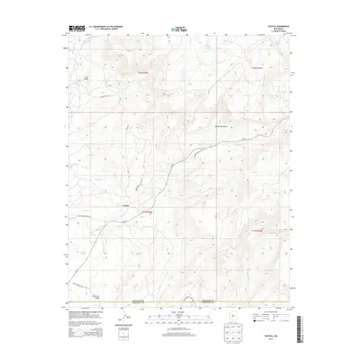
2013 Map of Crystal
USGS Topo · Published 2013About this map
The settlement of Crystal serves as a focal point within the high-elevation terrain of the Chuska Mountains along the border of San Juan and McKinley Counties. This 2013 survey documents a landscape defined by its vital water sources and mountain transit routes, including Indian Service Route 32 and NM-134. High-altitude water bodies such as Berland Lake, Todacheene Lake, and Sage Lake are scattered across the plateau, while numerous springs and creeks, such as Vicent Spring and Little Whiskey Cr, drain the mountain slopes. The map also captures the legacy of the local timber industry with legacy infrastructure like Logging Road 7190, providing a detailed look at the resource-rich geography of the Red Valley and Black Salt Valley regions.
Find a feature on this map
24 named features on this map. Tap any name to fly to it.
Don’t see what you’re looking for? This feature index may not catch every label — zoom into the map to look around manually.
Map Details
Editions of this 2013 Crystal Map
This is the sole edition of this map. No revisions or reprints were ever made.
Other maps of this area

1886 · Wingate
USGS Topo · 1:250,000

1886 · Fort Defiance
USGS Topo · 1:250,000

1889 · Chaco
USGS Topo · 1:250,000

1892 · Fort Defiance
USGS Topo · 1:250,000

1892 · Wingate
USGS Topo · 1:250,000

1892 · Chaco
USGS Topo · 1:250,000

1892 · Canyon De Chelly
USGS Topo · 1:250,000

1954 · Shiprock
USGS Topo · 1:250,000

1954 · Gallup
USGS Topo · 1:250,000

1955 · Sonsala Butte 4 SE
USGS Topo · 1:24,000
Featured Places
- Shiprock Agency
- Fort Defiance Agency
- Áshįįshzhiin, Fort Defiance Agency
- Crystal, Fort Defiance Agency
- San Juan County, NM