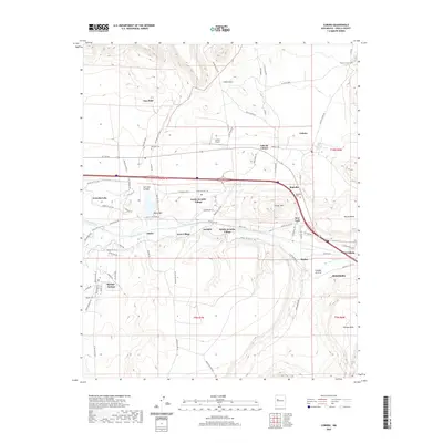
2020 Map of Cubero
USGS Topo · Published 2020About this map
Rio San Jose flows through this Cibola County landscape, tracing a path south of the historic HST Rte 66 corridor. This modern survey illustrates a dense network of Pueblo and community settlements along the river valley, including North Acomita Village, South Acomita Village, and the clustered developments of Acomita and West Village. The infrastructure of the early 21st century is layered over older landmarks, with Interstate 40 running parallel to the traditional route through San Fidel and Budville.
Find a feature on this map
88 named features on this map. Tap any name to fly to it.
Don’t see what you’re looking for? This feature index may not catch every label — zoom into the map to look around manually.
Map Details
Editions of this 2020 Cubero Map
This is the sole edition of this map. No revisions or reprints were ever made.
Other maps of this area

1883 · Mt. Taylor
USGS Topo · 1:250,000

1886 · Mt. Taylor
USGS Topo · 1:250,000

1892 · Mt. Taylor
USGS Topo · 1:250,000

1899 · Mt. Taylor
USGS Topo · 1:250,000

1917 · Cerro Verde
USGS Topo · 1:125,000

1917 · Broom Mountain
USGS Topo · 1:125,000

1954 · Socorro
USGS Topo · 1:250,000

1957 · Lobo Springs
USGS Topo · 1:24,000

1957 · Mount Taylor
USGS Topo · 1:24,000

1957 · Laguna
USGS Topo · 1:24,000