
1957 Map of Mount Taylor
USGS Topo · Published 1959About this map
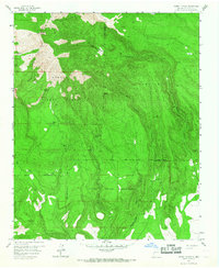
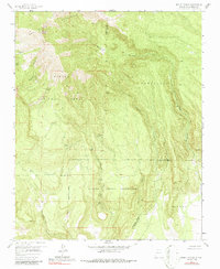
Mount Taylor dominates the northern landscape of this mid-century survey, standing as a prominent landmark within the San Mateo Mountains. The terrain transitions from the high peaks of the Cibola National Forest into the lower elevations of the Laguna Indian Reservation to the south. The mapping reflects a rugged environment defined by drainage systems like Seco Canyon and Castillo Canyon, where water sources were critical for local movement and land use. Names like De Armand Spring and Trough Spring suggest the importance of localized water points in an otherwise arid high-altitude region.
Find a feature on this map
27 named features on this map. Tap any name to fly to it.
Don’t see what you’re looking for? This feature index may not catch every label — zoom into the map to look around manually.
Map Details
Editions of this 1957 Mount Taylor Map
3 editions found
Other maps of this area

1883 · Mt. Taylor
USGS Topo · 1:250,000

1886 · Mt. Taylor
USGS Topo · 1:250,000

1892 · Mt. Taylor
USGS Topo · 1:250,000

1899 · Mt. Taylor
USGS Topo · 1:250,000

1957 · Lobo Springs
USGS Topo · 1:24,000

1957 · Laguna
USGS Topo · 1:24,000

1957 · Mc Cartys
USGS Topo · 1:24,000

1957 · Cubero
USGS Topo · 1:24,000

1957 · Seboyeta
USGS Topo · 1:24,000

1958 · Albuquerque
USGS Topo · 1:250,000