1957 Map of Mount Taylor
USGS Topo · Published 1986About this map
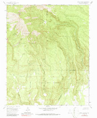
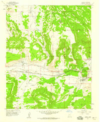
Mount Taylor dominates this 1957 USGS survey, marking the volcanic high point of the San Mateo Mountains. The map illustrates the complex intersection of federal and tribal lands, where the Cibola National Forest meets the northern reaches of the Laguna Indian Reservation. The terrain is defined by deep incisions like Water Canyon and Timber Canyon, which descend from the high timberlines of Cebolleta.
Find a feature on this map
25 named features on this map. Tap any name to fly to it.
Don’t see what you’re looking for? This feature index may not catch every label — zoom into the map to look around manually.
Map Details
Editions of this 1957 Mount Taylor Map
3 editions found
Other maps of this area

1883 · Mt. Taylor
USGS Topo · 1:250,000

1886 · Mt. Taylor
USGS Topo · 1:250,000

1892 · Mt. Taylor
USGS Topo · 1:250,000

1899 · Mt. Taylor
USGS Topo · 1:250,000
1957 · Lobo Springs
USGS Topo · 1:24,000
1957 · Mount Taylor
USGS Topo · 1:24,000
1957 · Laguna
USGS Topo · 1:24,000
1957 · Mc Cartys
USGS Topo · 1:24,000
1957 · Cubero
USGS Topo · 1:24,000
1957 · Seboyeta
USGS Topo · 1:24,000