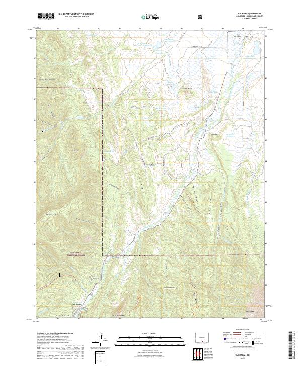
2022 Map of Cuchara
USGS Topo · Published 2022About this map
The Cucharas River cuts through this high-elevation landscape of Huerfano County, anchored by the settlements of La Veta and Cuchara. The terrain is defined by dramatic geological formations, from the towering Spanish Peaks to the sharp verticality of the Devils Stairsteps and Goemmer Butte. Much of the western and southern reaches of the map are protected within the San Isabel National Forest, where the land rises toward peaks like Raspberry Mtn and Krüger Mtn.
Find a feature on this map
77 named features on this map. Tap any name to fly to it.
Don’t see what you’re looking for? This feature index may not catch every label — zoom into the map to look around manually.
Map Details
Editions of this 2022 Cuchara Map
This is the sole edition of this map. No revisions or reprints were ever made.
Other maps of this area

1889 · Huerfano Park
USGS Topo · 1:125,000

1891 · Walsenburg
USGS Topo · 1:125,000

1891 · Spanish Peaks
USGS Topo · 1:125,000

1892 · Huerfano Park
USGS Topo · 1:125,000

1893 · Spanish Peaks
USGS Topo · 1:125,000

1894 · Walsenburg
USGS Topo · 1:125,000

1895 · Spanish Peaks
USGS Topo · 1:125,000

1897 · Walsenburg
USGS Topo · 1:125,000

1897 · Spanish Peaks
USGS Topo · 1:125,000

1900 · Spanish Peaks
USGS Topo · 1:125,000