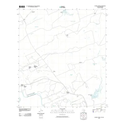
2010 Map of Cuervo Creek
USGS Topo · Published 2010About this map
Tordillo Cemetery and the prominent Loma de las Potrancas rise above the South Texas landscape north of Laredo, where traditional ranchlands began transitioning into colonial residential settlements. The western boundary is defined by the Rio Grande, marking the international border between the United States and Mexico. This area is characterized by an extensive system of ephemeral water management, including Sausés Tank, Huasache Tank, and Salinas Tank, which supported the livestock of established estates like Santa Elena Ranch.
Find a feature on this map
37 named features on this map. Tap any name to fly to it.
Don’t see what you’re looking for? This feature index may not catch every label — zoom into the map to look around manually.
Map Details
Editions of this 2010 Cuervo Creek Map
This is the sole edition of this map. No revisions or reprints were ever made.
Other maps of this area

1956 · Las Tiendas
USGS Topo · 1:62,500

1956 · Islitas
USGS Topo · 1:62,500

1956 · Laredo East
USGS Topo · 1:62,500

1956 · Webb
USGS Topo · 1:62,500

1956 · Laredo
USGS Topo · 1:250,000

1965 · Laredo West
USGS Topo · 1:24,000

1965 · Orvil
USGS Topo · 1:24,000

1965 · Cuervo Creek
USGS Topo · 1:24,000

1965 · Cerritos Blancos
USGS Topo · 1:24,000

1965 · Nido Ranch
USGS Topo · 1:24,000
Featured Places
- Laredo, TX
- Los Corralitos Colonia, TX
- Los Minerales Colonia, TX
- Ranchos Penitas West, TX
- Ranchos Penitas West Colonia, TX